35 Years of Clean River Partners
1990 - 1994
Between 1990 and 1994, the Cannon River Watershed Partnership (our name until 2021) was off to an exciting start! Founded by Molly Woehrlin in the spring of 1990, with the help of partners like The Nature Conservancy, the Minnesota Department of Natural Resources, and the Board of Water and Soil Resources, our mission was clear: to protect and enhance the waters of the Cannon River Watershed.
We began with just a part-time Executive Director, but it didn’t take long for our team to grow to three dedicated staff members. They worked hard to connect with the community through public meetings, gather input, and create a solid long-term watershed plan. Thanks to generous support from the McKnight Foundation and the Legislative Commission on Minnesota Resources (LCMR)*, we focused on developing leadership and providing incentives to encourage the best management practices among our community.
*Note: Formerly known as the Legislative Commission on Minnesota Resources (LCMR), the Commission was re-organized into the LCCMR in 2006 with the addition of members of the public to provide citizen input more directly in the decision-making process.

CRWP co-sponsored a kayak trip down the Cannon River with Red Wing Environmental Learning Center. Molly Woehrlin is on the right with a group of kayakers. June 1992.
During these early years, our board included county commissioners from six different counties in our watershed (Dakota, Goodhue, Le Sueur, Rice, Steele, and Waseca) along with representatives from Soil and Water Conservation Districts. This diverse group was fantastic for building partnerships with government agencies, although managing such a large team certainly had challenges!
One of the highlights of this period was the launch of our Adopt-A-River program. It encouraged residents to take pride in keeping their designated stretches of the river and shorelines clean and safe while also monitoring for issues like erosion and dump sites. This initiative embodied our vision of fostering local action, ownership, and stewardship.
In June 1992, we cleaned up 100 miles on the Cannon from the source to the mouth, involving over 100 volunteers in 20 different organizations. All in all, these early years set an excellent foundation for CRWP’s efforts in conservation and community engagement!
1995 - 1999
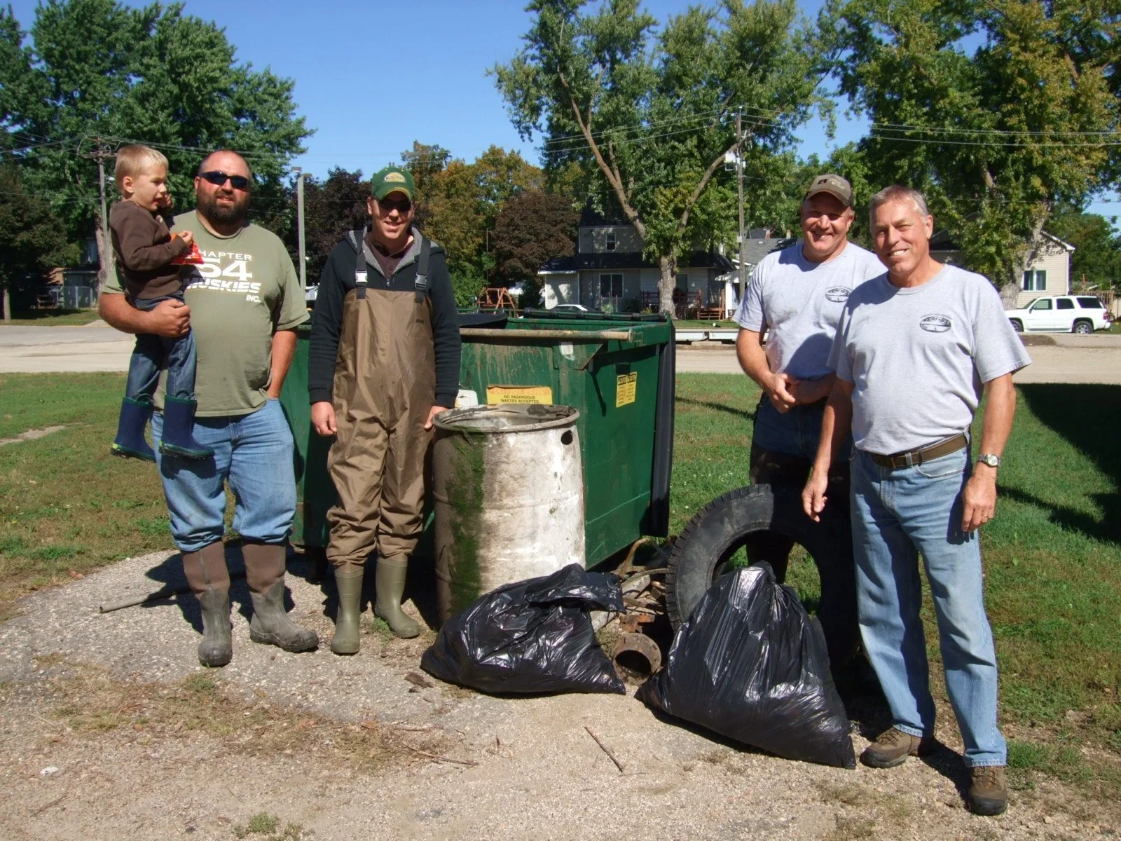
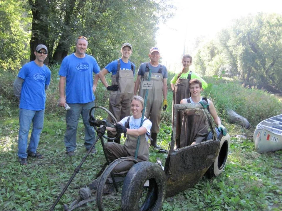
Between 1995 and 1999, the Cannon River Watershed Partnership (CRWP) saw a lot of positive changes. We received a large grant from the LMCR, which helped us launch projects in three main areas: the Little Cannon River, Prairie Creek, and what former employees call the “three lakes basin,” which includes Fox, Circle, and Mazaska Lakes. Each of these areas had significant environmental problems, but there was a lot of community interest in making things better. One notable event was a big tire cleanup at Fox Lake, where volunteers worked together to remove around 500 tires from the water.
During this period, CRWP hosted the first Cannon River Summit, an event that brought together local citizens, agency staff, and elected officials. The summit focused on educating attendees about resources and funding available for protecting nature. At that same time, Dakota County was working on creating the Miesville Ravine Park Reserve, and a new organization called Friends of the Cannon River Wilderness Area was formed to help maintain and improve another park 30 miles down the road.

Cannon River Watershed Partnership logo
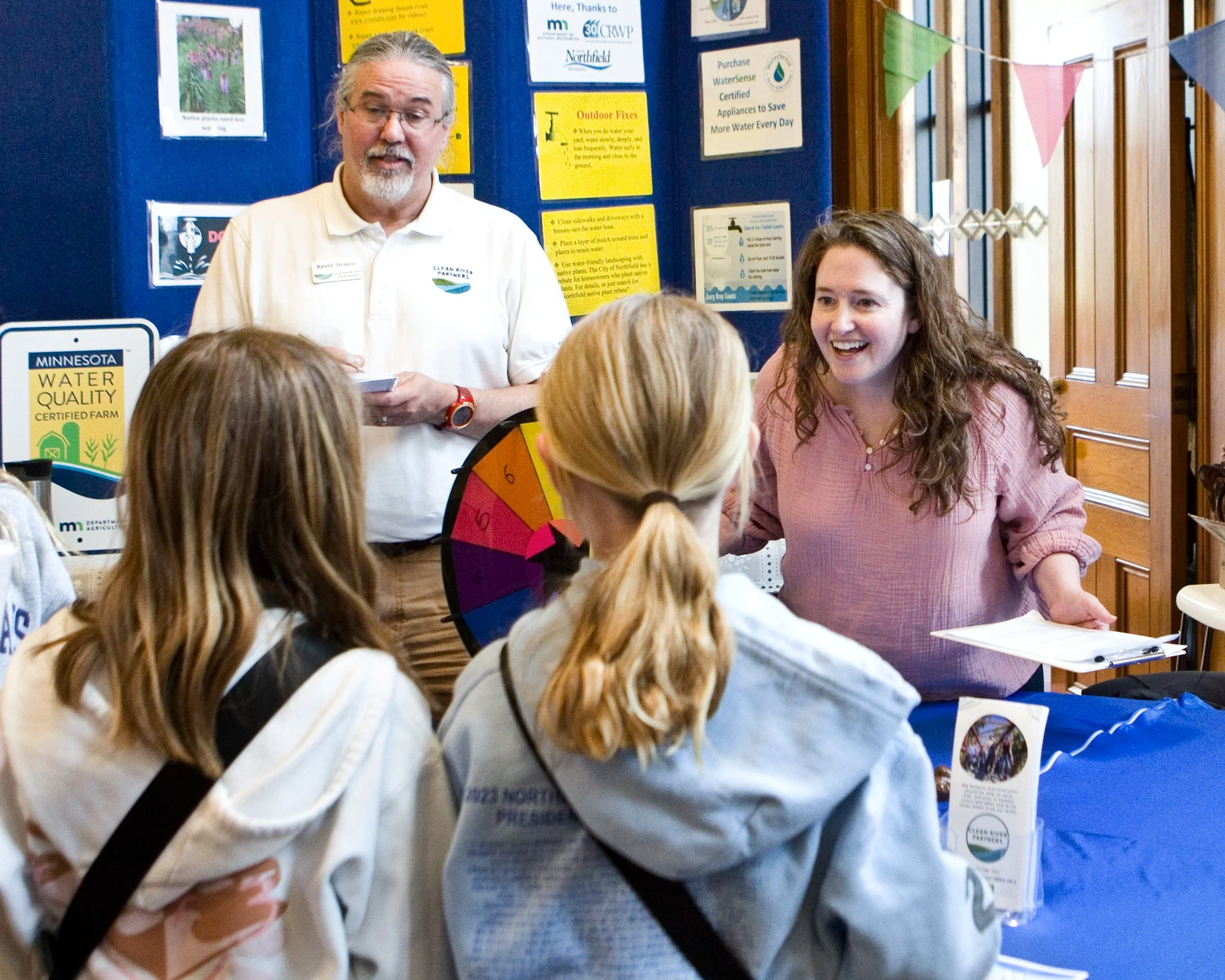
In the summer of 1997, CRWP began sharing important information about new sewer projects in Dundas and Welch, which were designed to stop raw sewage from entering the Cannon River. As community members faced issues with pollution from feedlots and land use, they increasingly turned to CRWP for support. During this time, CRWP introduced a new logo and launched a campaign called “Be a River Friendly Neighbor” to encourage everyone to take responsibility for protecting local waters.
In 1998, CRWP launched its first website, created by a student from Carleton College. A group of 14 landowners and experts came together to create a plan for protecting Spring Brook, a stream that is home to native brook trout. Researchers gathered at a conference to discuss pollution in the watershed, identifying sediment, excess nutrients, and bacteria as major problems.
Finally, in 1999, the Minnesota Legislature passed a law that provided funding for CRWP to help form a joint powers agreement among six counties in the region: Dakota, Goodhue, Le Sueur, Rice, Steele, and Waseca. The goal of this agreement was to create a land-use plan to help protect the area’s water resources.


2000-2004
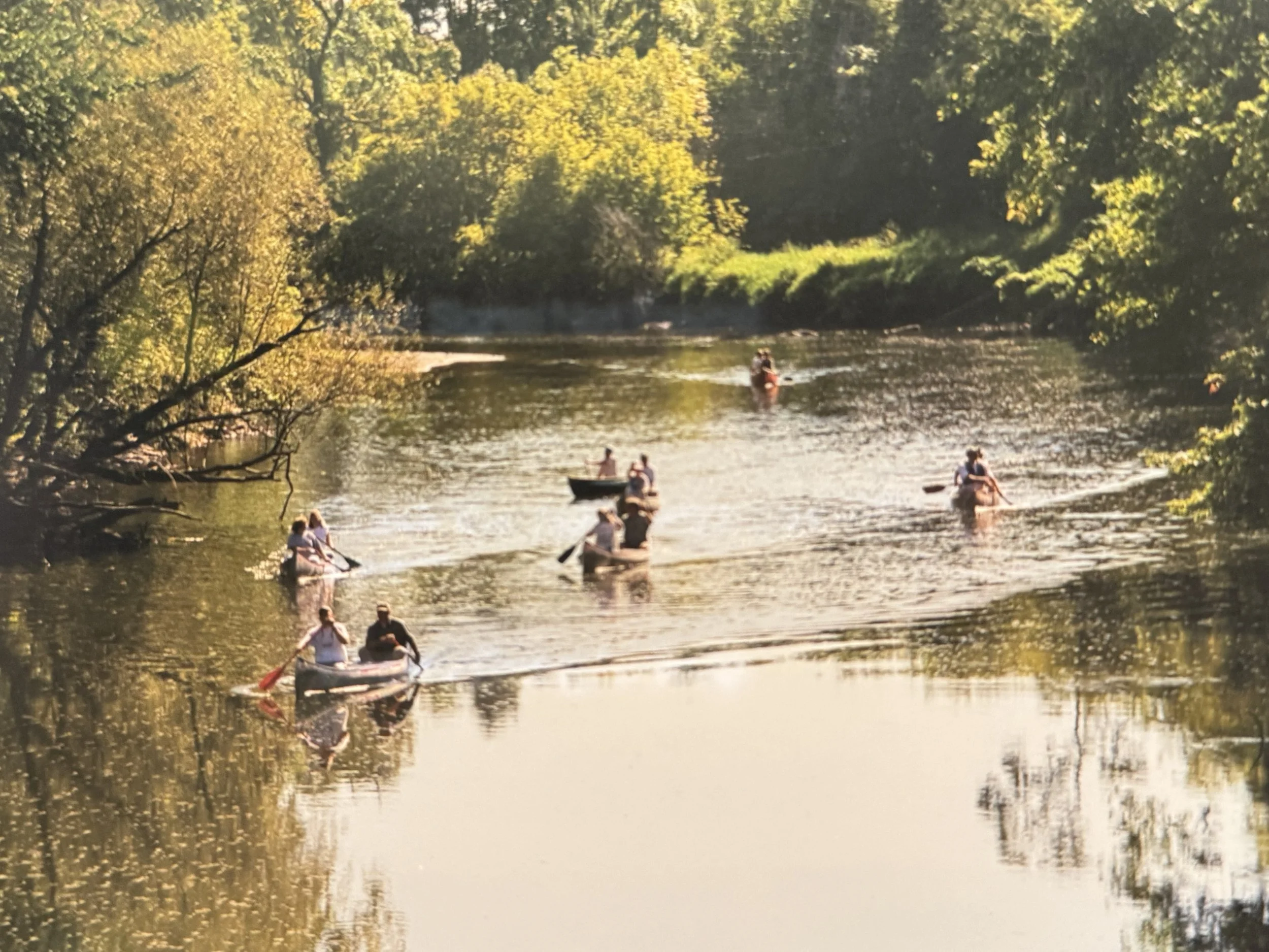
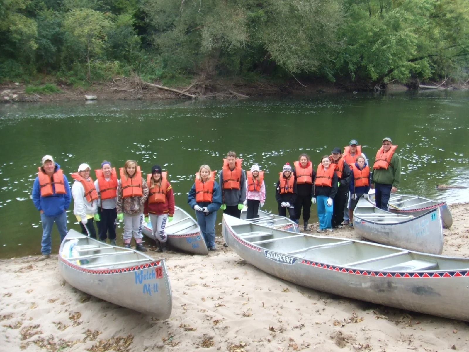
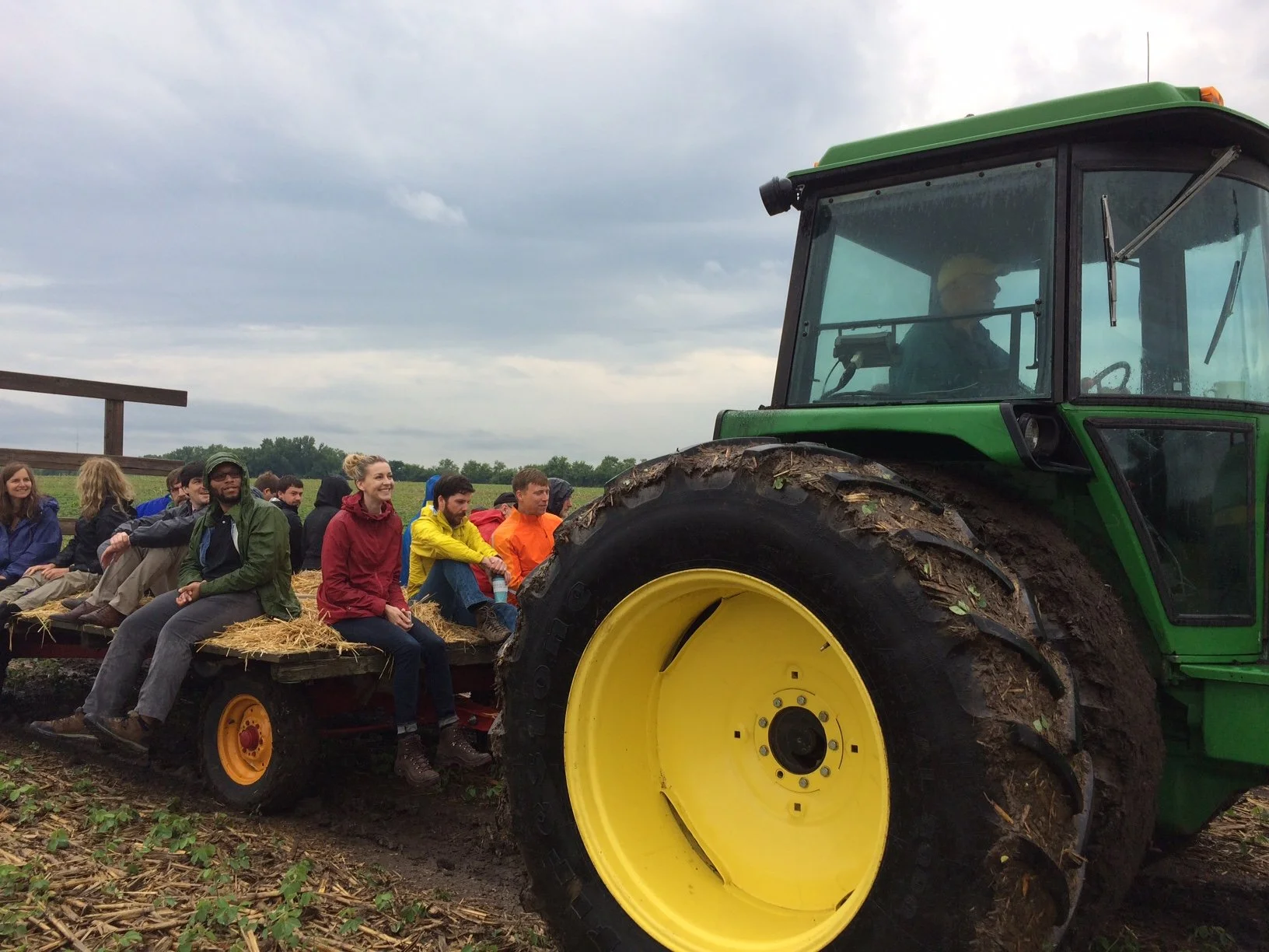
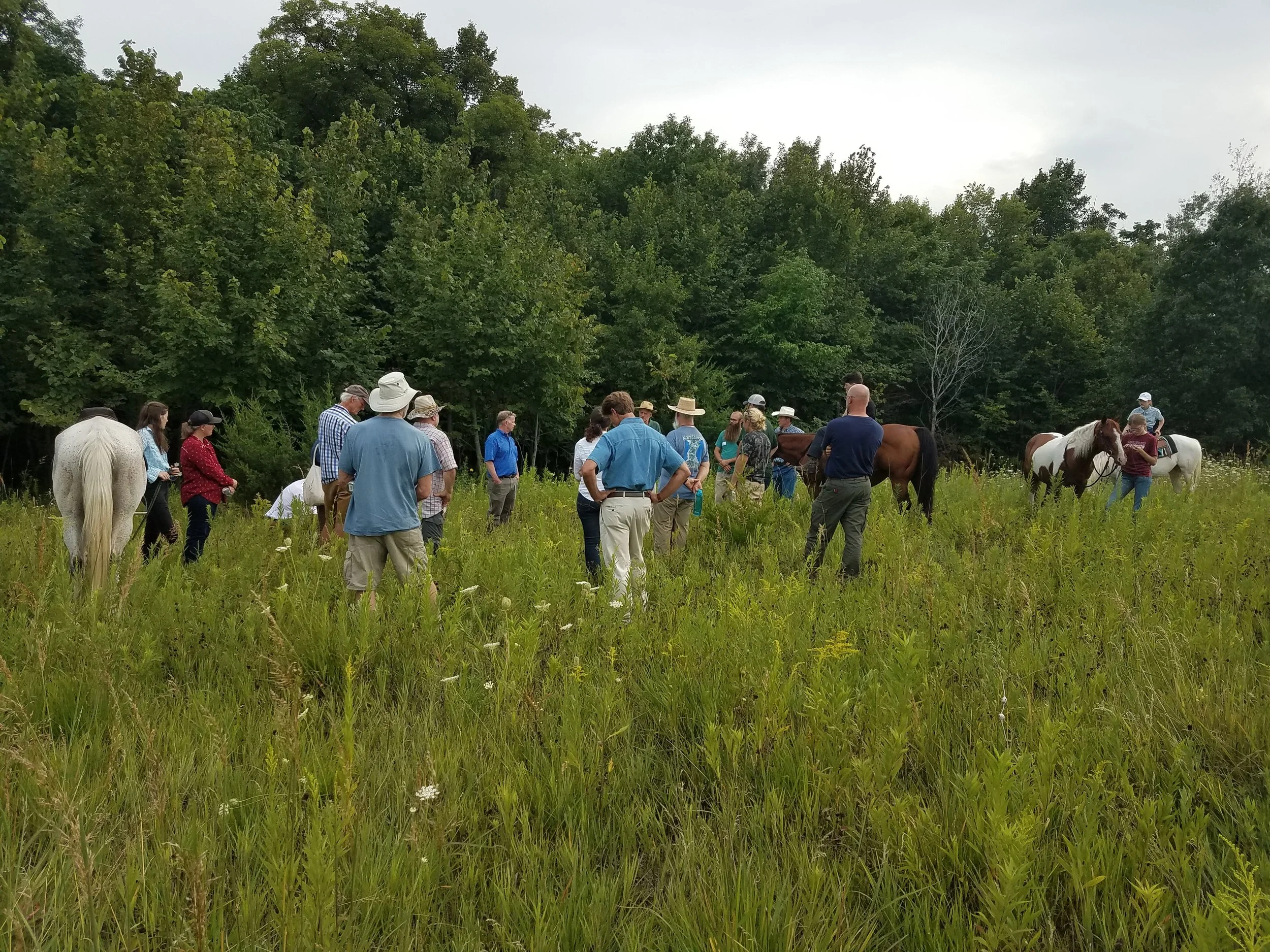
The year 2000 marked a significant milestone for the Cannon River Watershed Partnership, as we celebrated our 10th anniversary. At that time, we organized a community paddle on the Cannon River, starting from the Cannon River Wilderness Area and concluding in Dundas. This event not only commemorated our decade of work but also established a tradition of using canoe trips as a means of outreach, fostering community connection to the watershed. In the same period, after a decade in Faribault, we made the strategic decision to move our office to Northfield, positioning ourselves closer to the heart of our watershed activities.

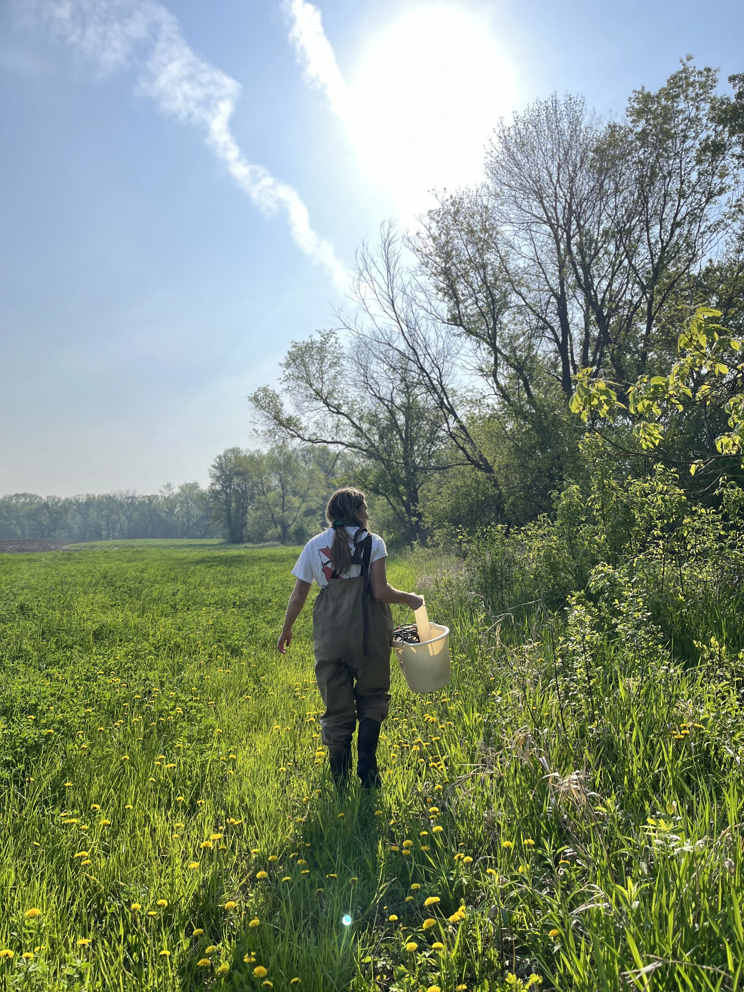
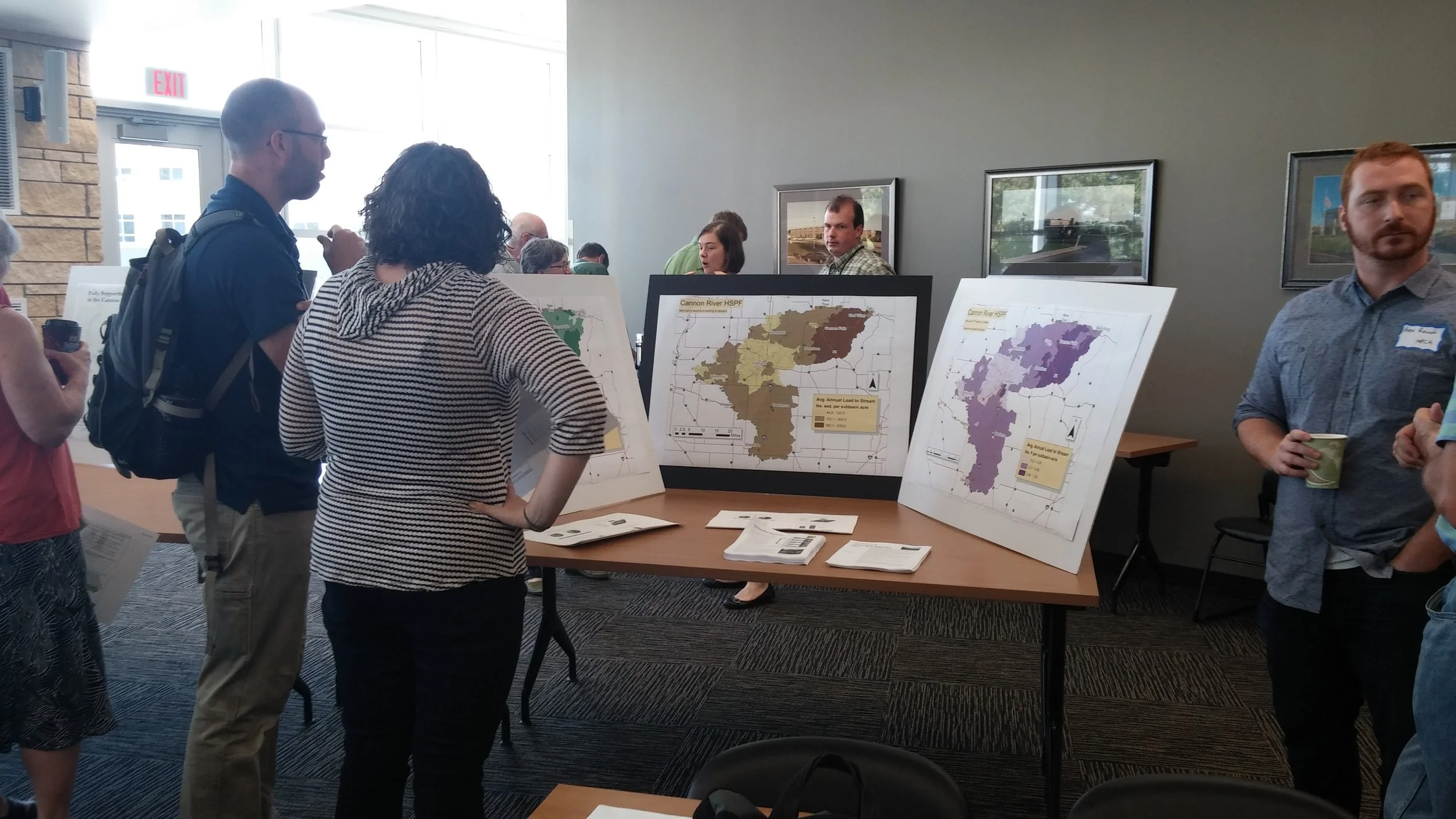
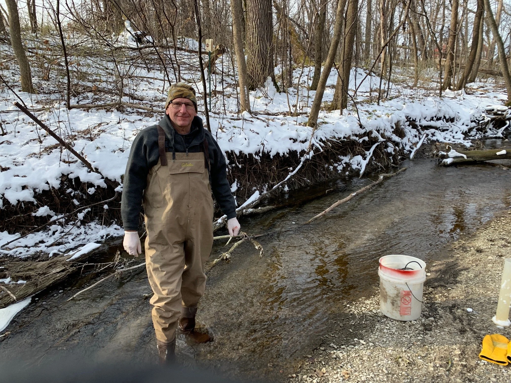
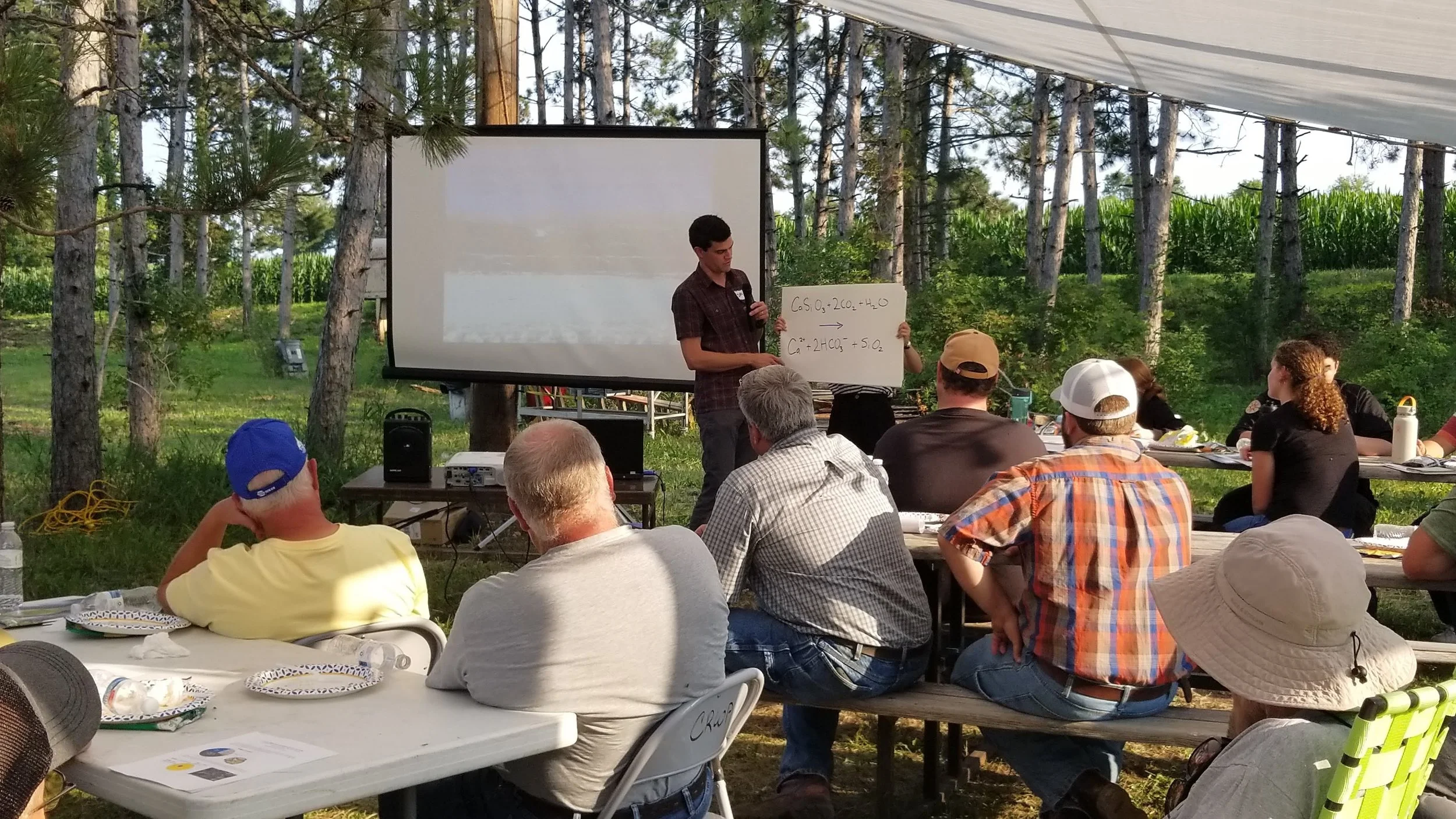
During these early years, the focus on environmental protection intensified, particularly in terms of water quality management across the watershed. A major topic of concern was the development of Total Maximum Daily Load (TMDL) plans, which are critical for identifying the maximum amount of pollution that water bodies can absorb without violating regulatory standards. High levels of phosphorus in Lake Byllesby and fecal coliform bacteria in the Straight River raised alarms among scientists and citizens alike. In response, we launched the Citizens' Monitoring Program, which equipped and trained volunteers to collect crucial water quality data across various sites, including the Straight River, Cannon River, Prairie Creek, and more. For many of these locations, the data gathered represented the first-ever records of water quality, highlighting the significance of community involvement in environmental monitoring.
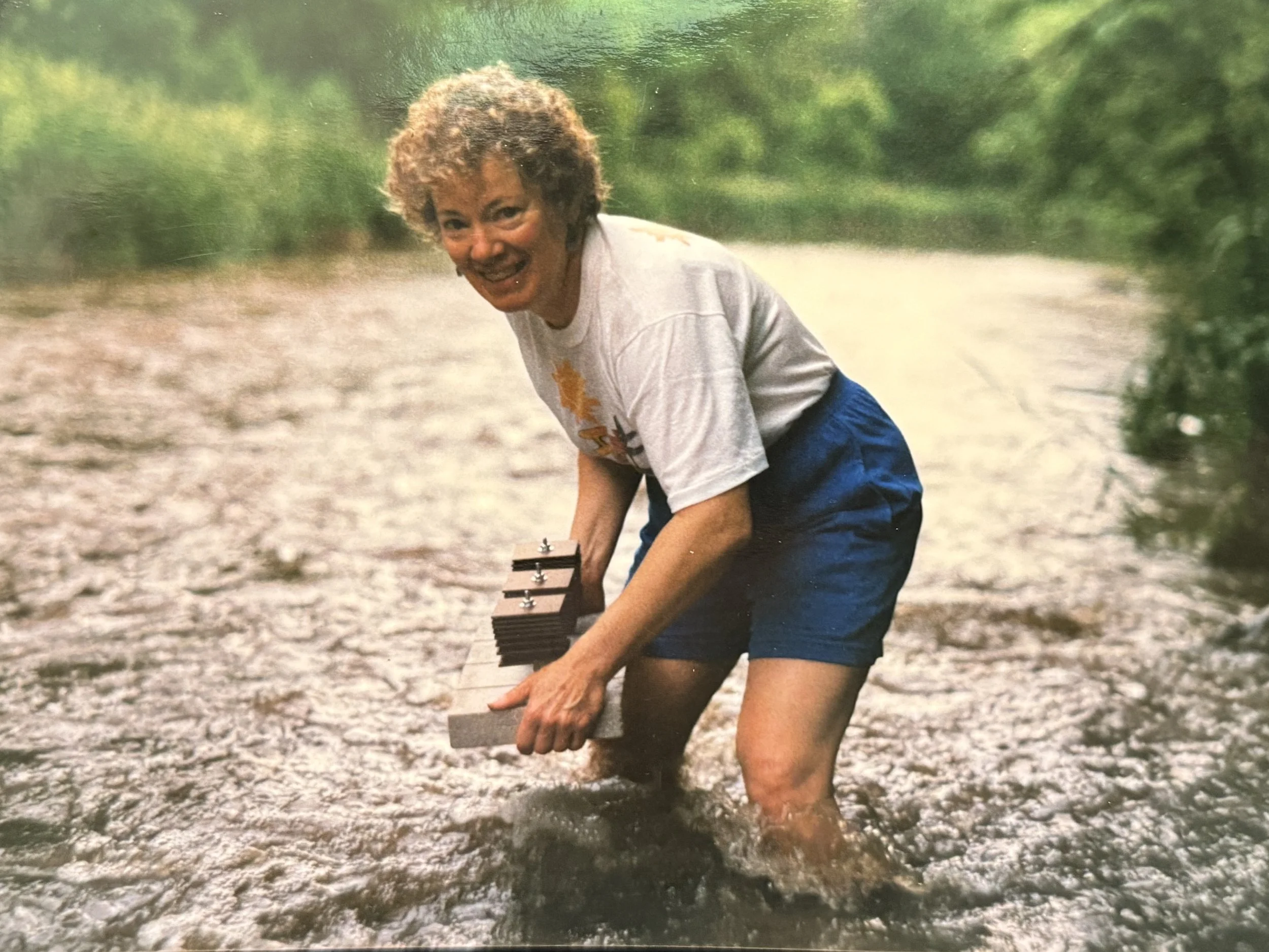
BJ Norman is placing a bug motel in the water - June 2002.
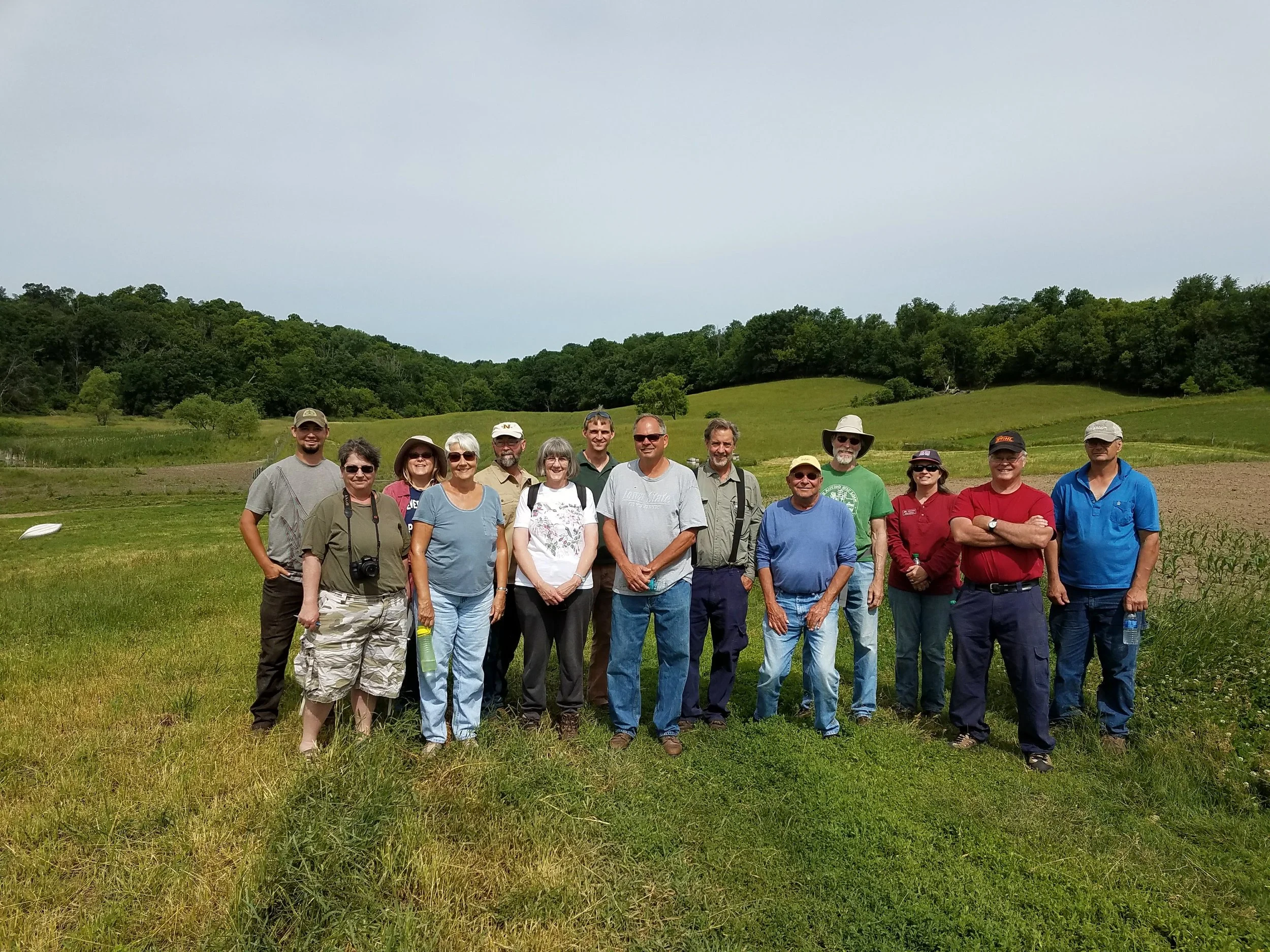
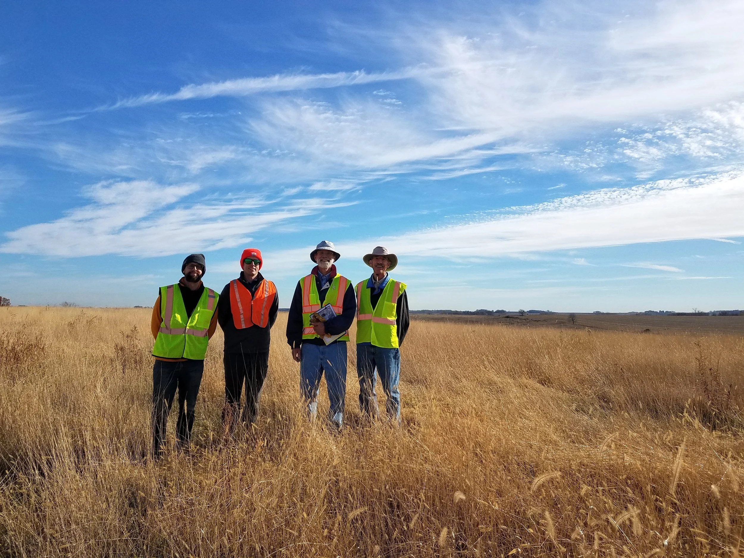
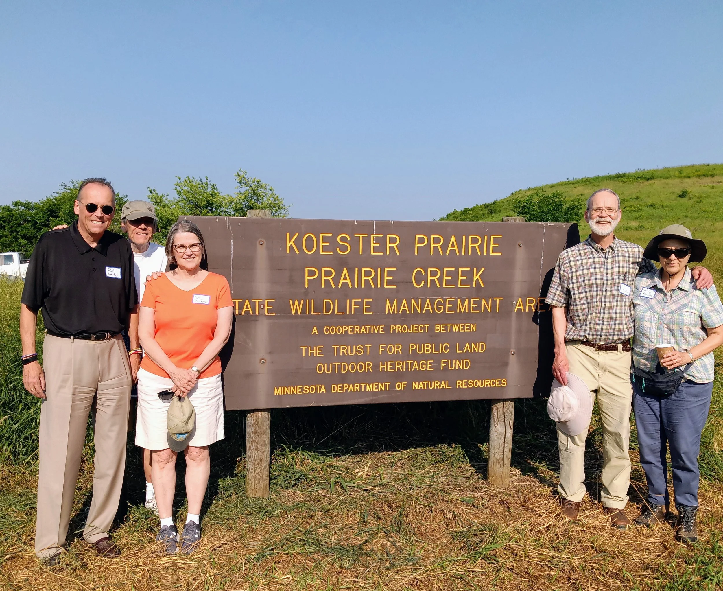
In this period, we also celebrated significant conservation milestones, including the protection of the Chub Lake Wildlife Management Area and the Cannon River Aquatic Management Area. The Chub Lake WMA spans 192 acres, featuring oak woodlands, fields, grasslands, and a portion of Chub Lake. Meanwhile, the Cannon River AMA covers 200 acres and includes a mile of river near Waterville, showcasing a shift in focus towards conserving native aquatic and riparian habitats—an evolving perspective in conservation practices during the early 21st century.
Between 2002 and 2004, our organization took a reflective approach, refining our strategic priorities under three main themes: outreach, conservation, and monitoring. Outreach played a crucial role in educating the public about the watershed's value and the importance of community involvement in its stewardship. Our conservation programs aimed to enhance and protect surface and groundwater resources, while monitoring efforts became crucial for gathering reliable, scientifically based information on water quality.
This period also marked the beginning of conversations around urban stormwater management, as we recognized the increasing challenges posed by urbanization. We initiated the establishment of monitoring sites in areas characterized by impervious surfaces to better understand the effects of limited green space and high-maintenance lawns on water quality—an essential step in adapting to the changing environmental landscape and addressing the needs of our watershed during this transformative time.
2005-2009
During this exciting period, two standout projects made a significant impact: the Southeast Minnesota Wastewater Initiative and our very first Cannon River Watershed-Wide Cleanup.
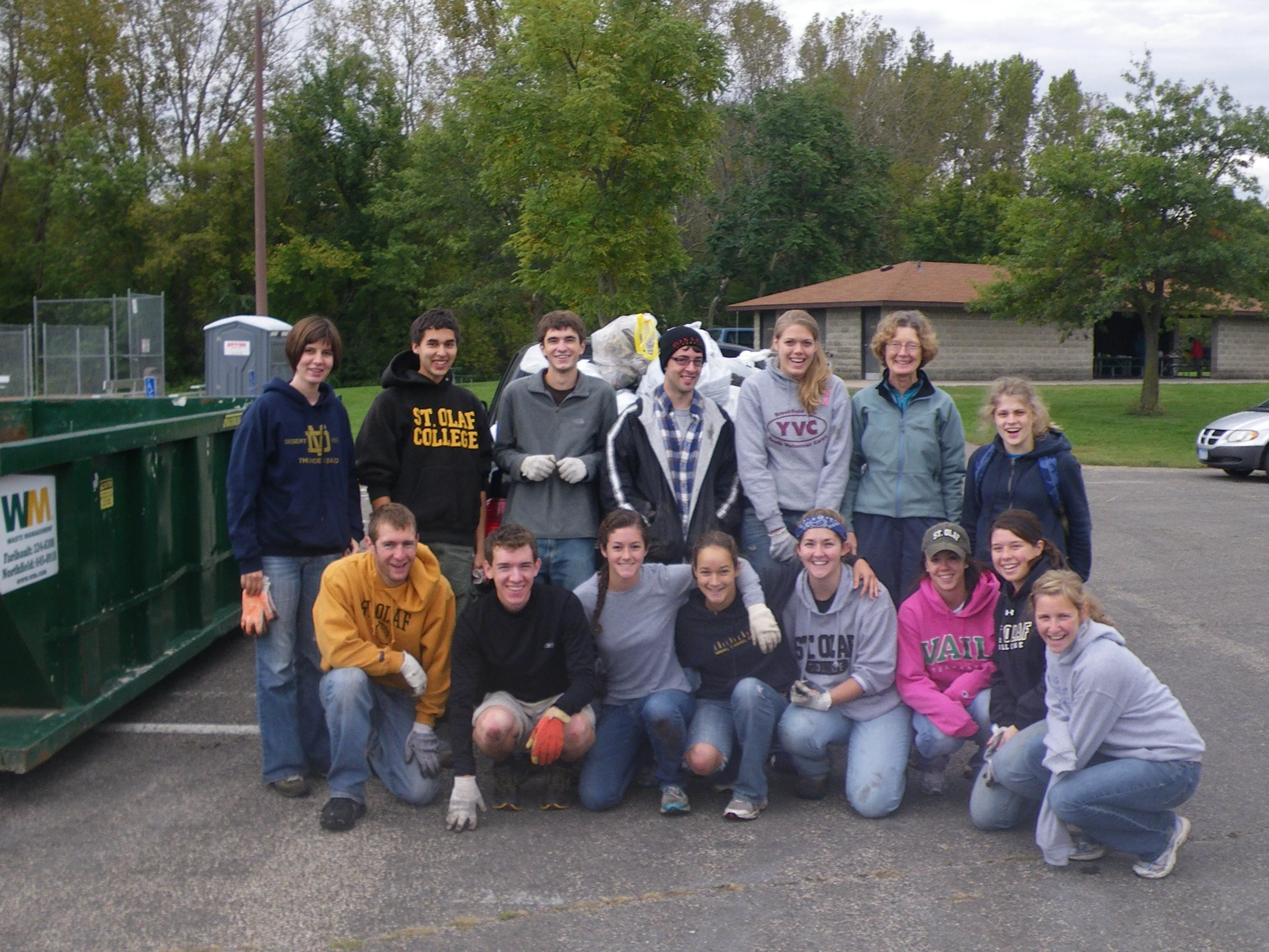
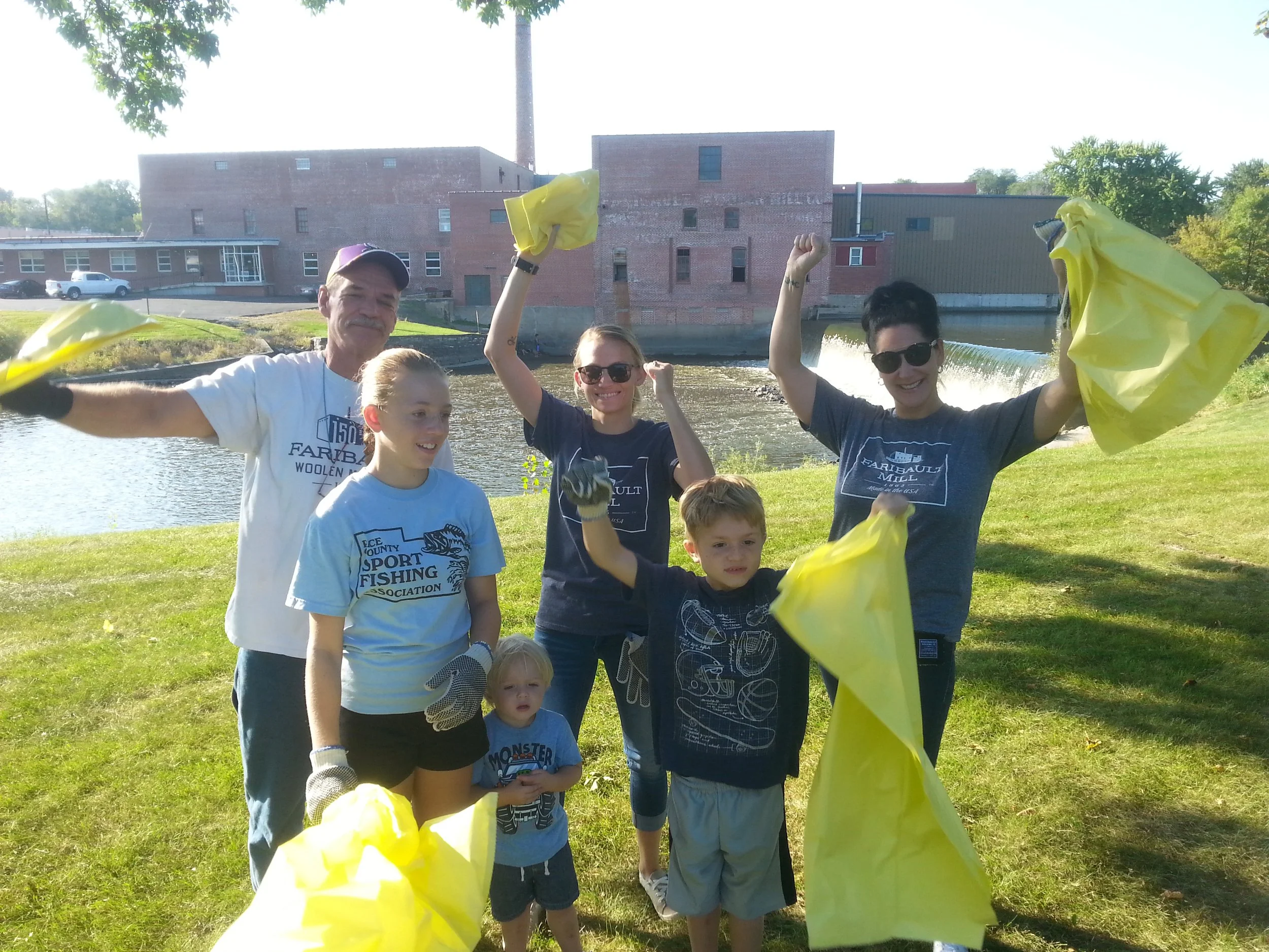
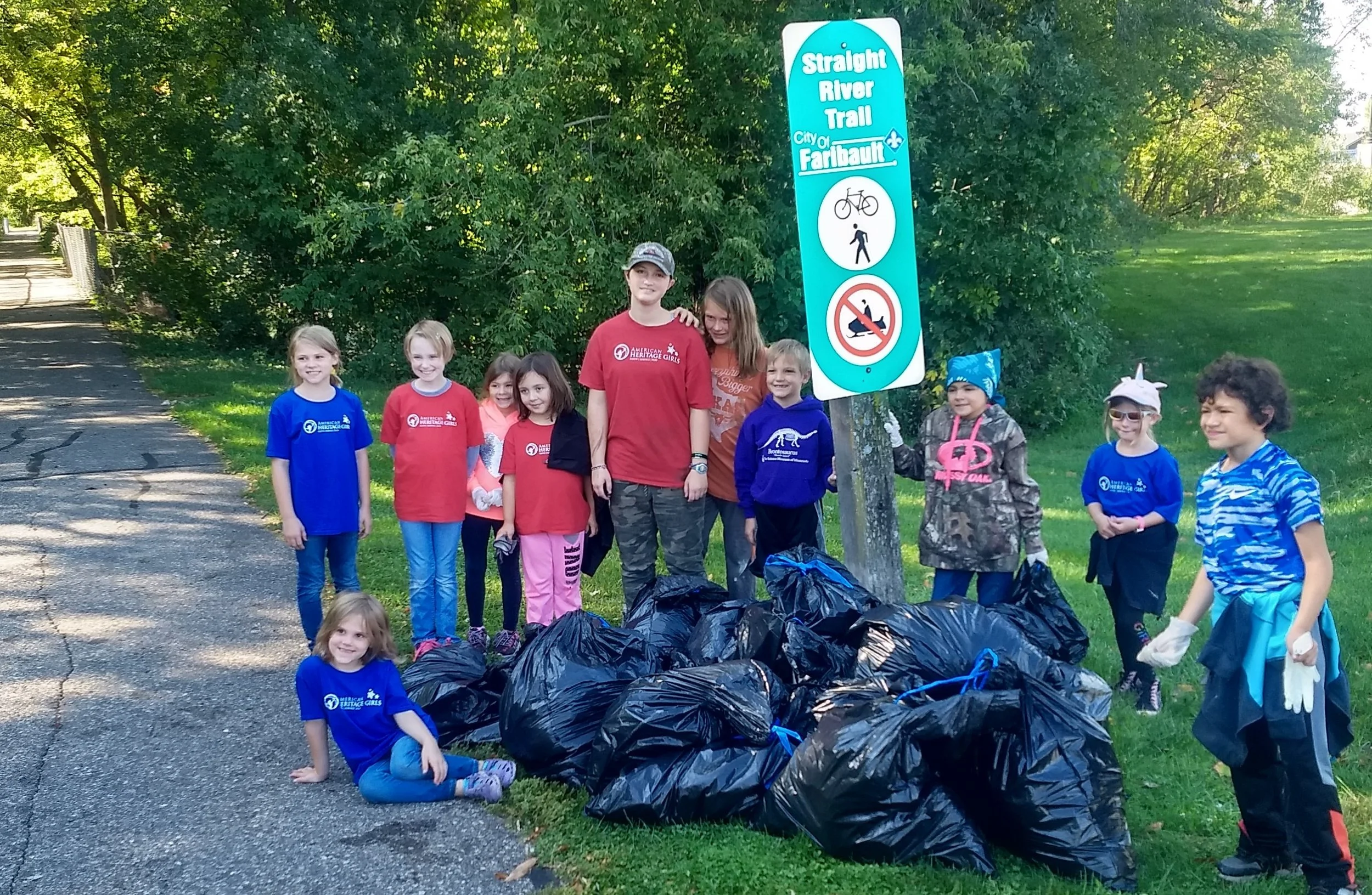
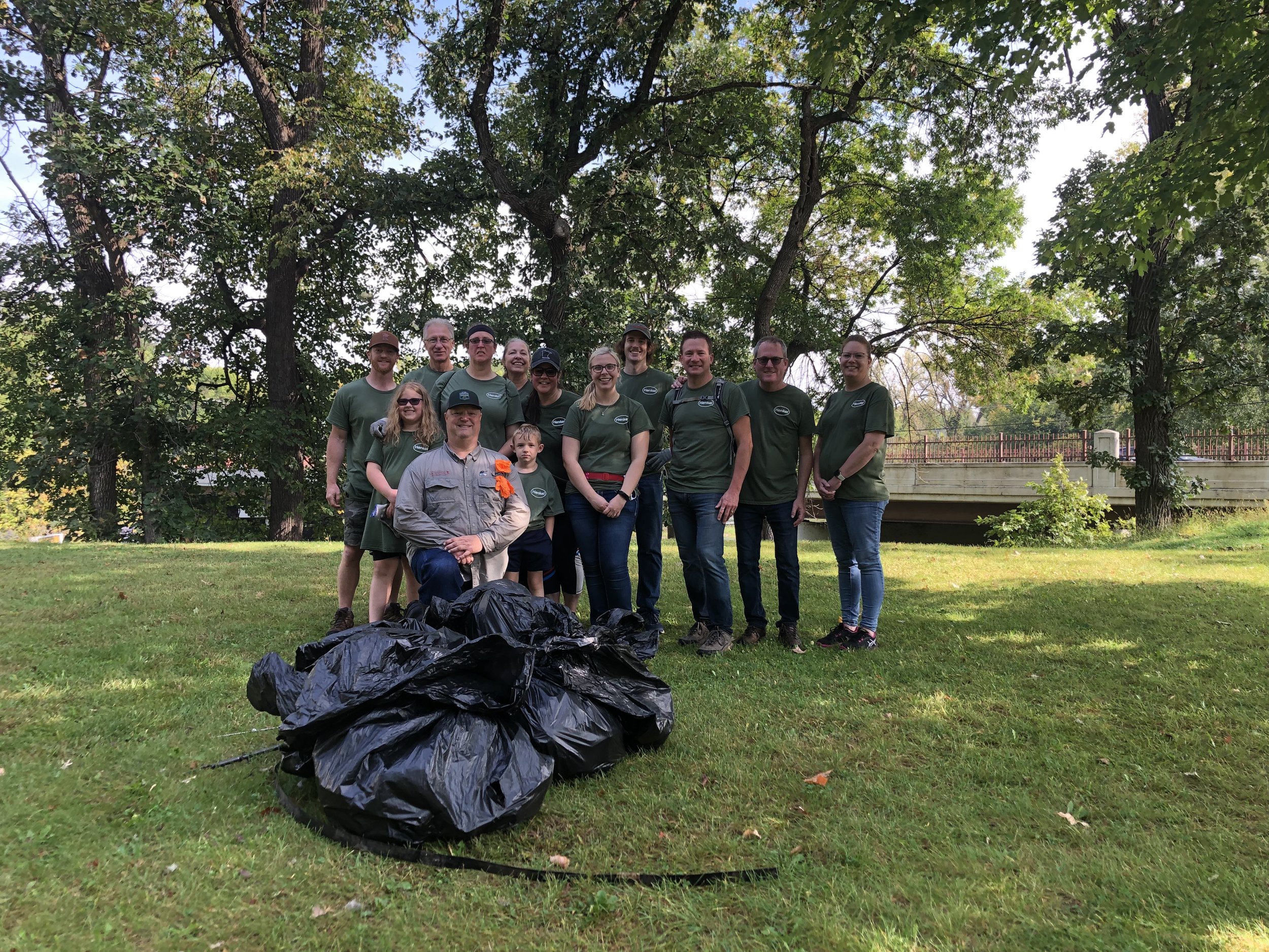
In April 2006, we hosted a river cleanup event that united over 200 enthusiastic volunteers across 10 different sites in the watershed. Together, they rolled up their sleeves and tackled the challenge, removing thousands of pounds of garbage, debris, and even tires from the Straight and Cannon Rivers, as well as from Shields Lake. The Cannon River Beacon captured the spirit of the event perfectly, noting that volunteers in Red Wing “dug, tugged, and hauled away more than ten automobiles, seven refrigerators, several stoves, and many tires.” It was a true community effort that showcased the power of teamwork and dedication to our natural resources!
We continued to host events like this sporadically throughout the years, but in 2009, we declared it an annual event with a name you might recognize: the Cannon River Watershed-Wide Cleanup.
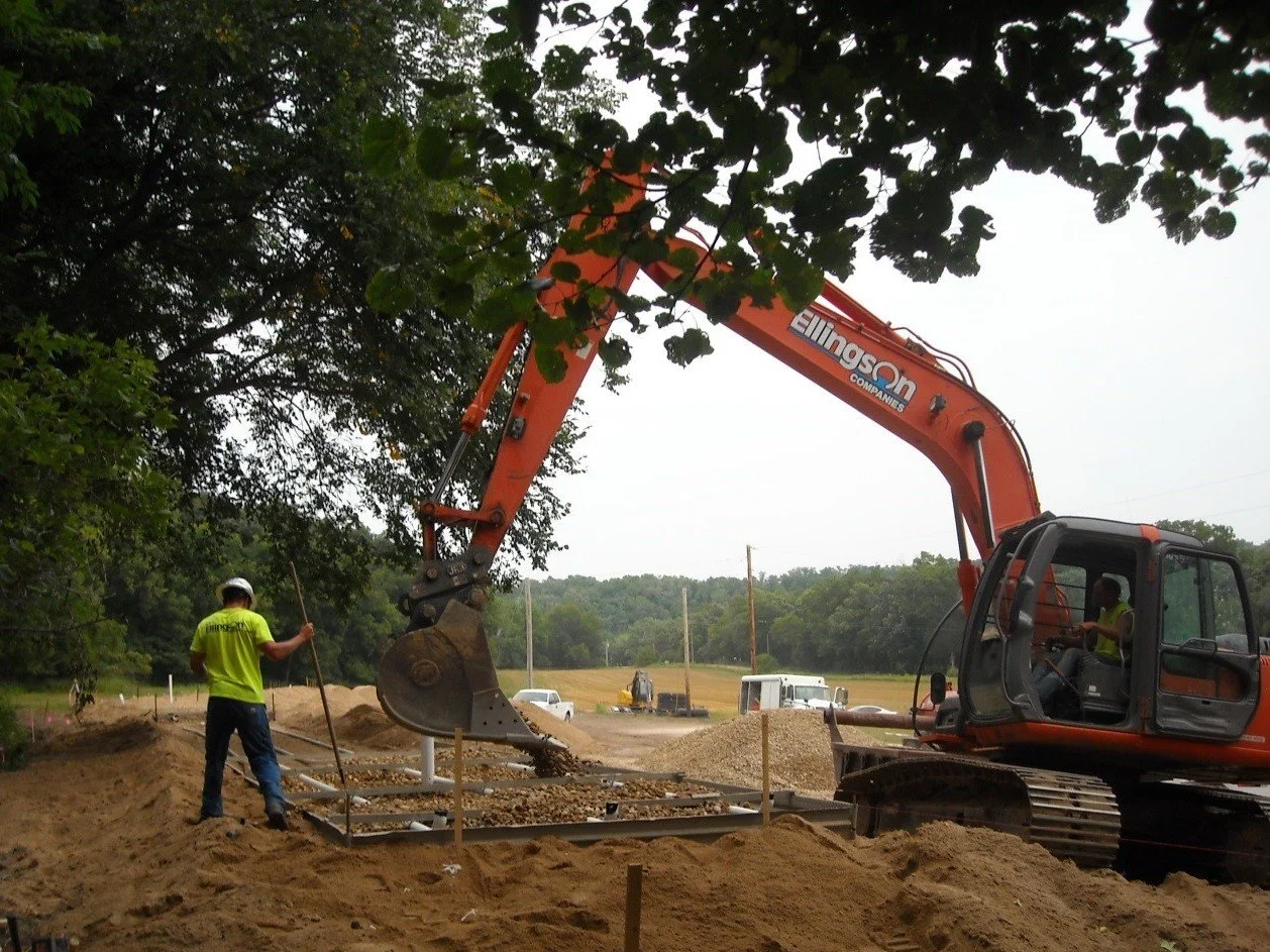
Another remarkable initiative from this era was the Southeast Minnesota Wastewater Initiative (SMWI). This groundbreaking project aimed to assist small, unsewered communities in enhancing their sewage treatment systems through a dynamic, three-pronged approach that included facilitator support, community education, and cost-share funding. With the help of TMDL research and implementation funding, this initiative became vital in addressing a pressing issue: many streams in southeast Minnesota were plagued by unsafe levels of E. coli and fecal coliform bacteria, rendering them unsuitable for swimming and human contact. By tackling untreated sewage—one of the major culprits behind this contamination—we began to protect our precious local waterways.
Between 2005 and 2008, two towns in Steele County, Hope and Meriden, emerged as shining examples of success under the SMWI. Thanks to the dedicated support from the Cannon River Watershed Partnership (CRWP), these communities finally found viable solutions for their wastewater challenges. In a monumental achievement, they sealed the straight pipes that had been discharging untreated sewage into the Straight River and Crain Creek. This significant accomplishment prevented an estimated 44,000 gallons of raw sewage from contaminating these surface waters and, ultimately, the Cannon River every single day. It’s a transformation that highlights how collaborative efforts can lead to lasting change for our environment!
Stay Tuned! We’ll dive into the time period between 2010 and 2014 soon!


2010-2014
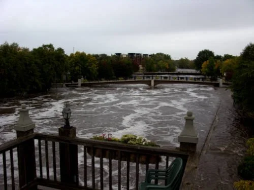
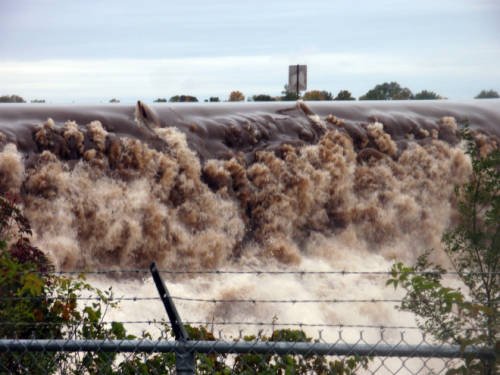
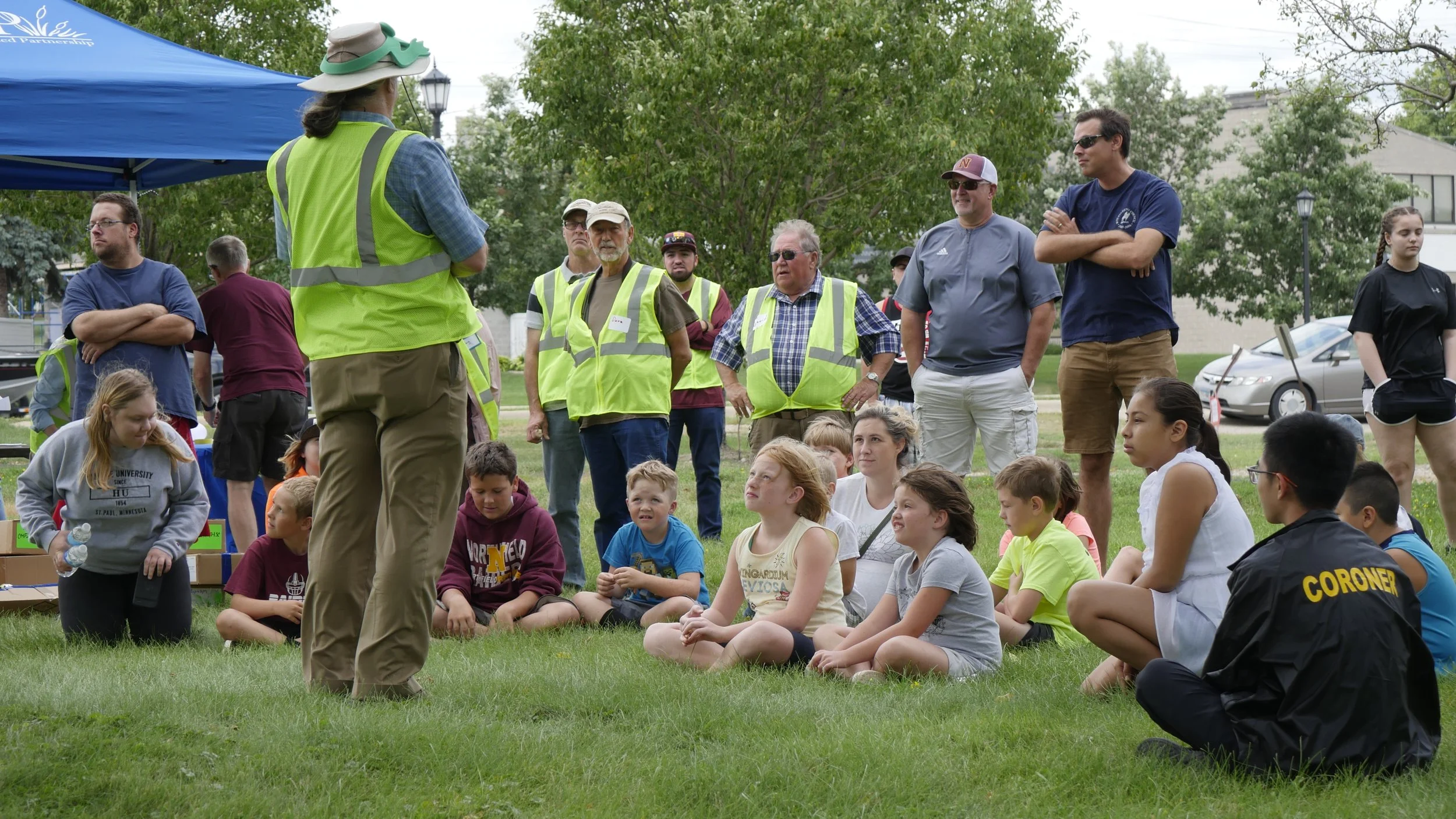
The years between 2010 and 2014 were defined by both challenge and momentum for the Cannon River Watershed Partnership. In September 2010, record flooding swept through the region, putting our mission into sharp focus. Staff were out in the field taking photos, monitoring conditions, directing residents to water level information, and helping with sandbagging. We joined a flooding task force in Owatonna and used the moment to help people understand a bigger picture: when wetlands disappear, and hard surfaces increase, more water rushes to rivers, and flooding becomes the river’s only response.
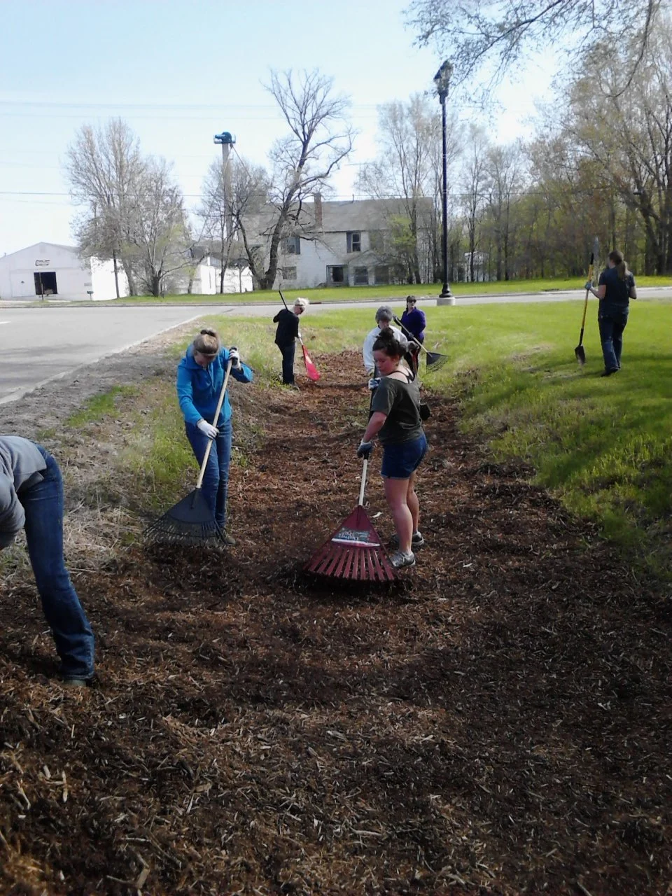
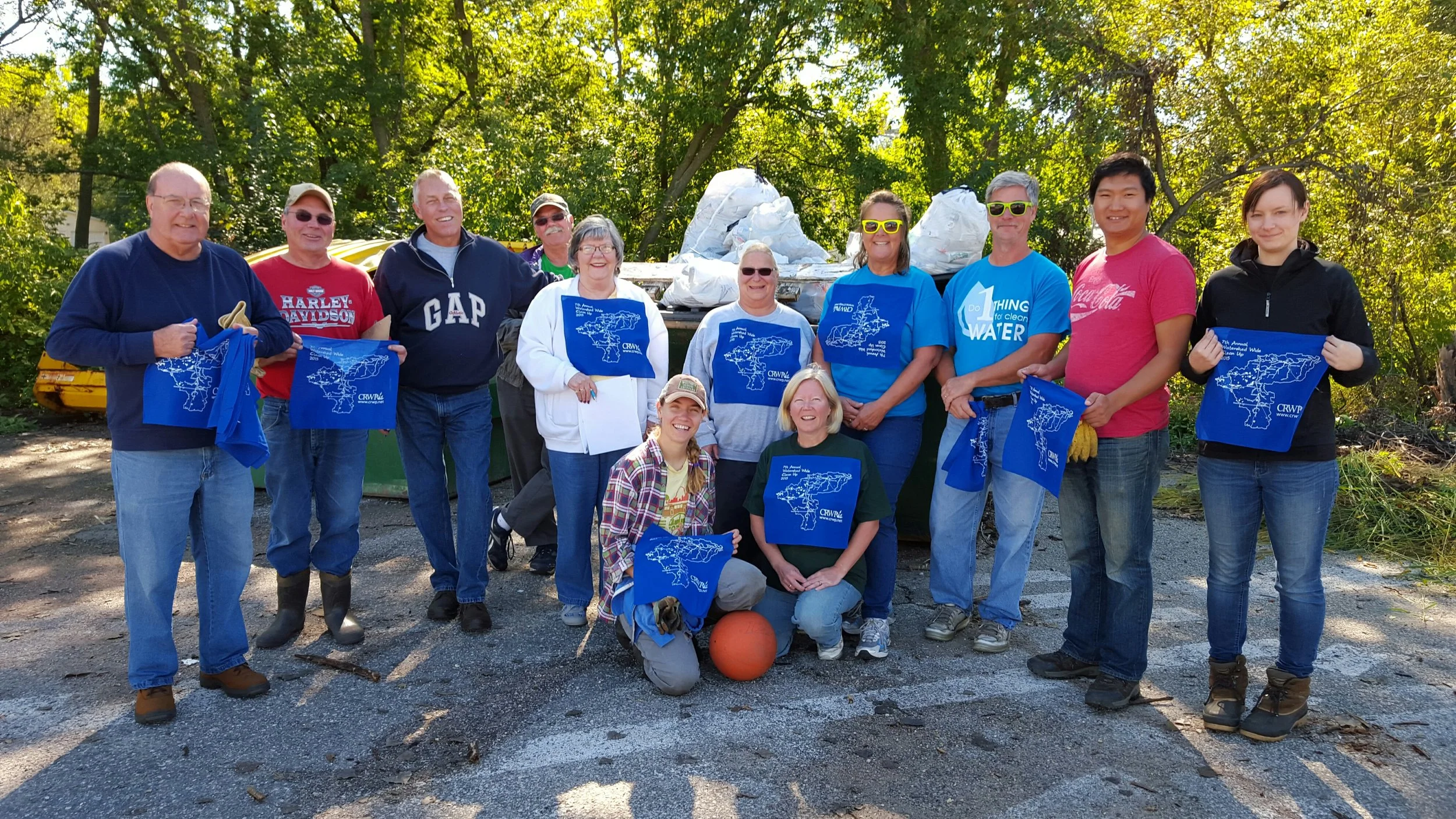
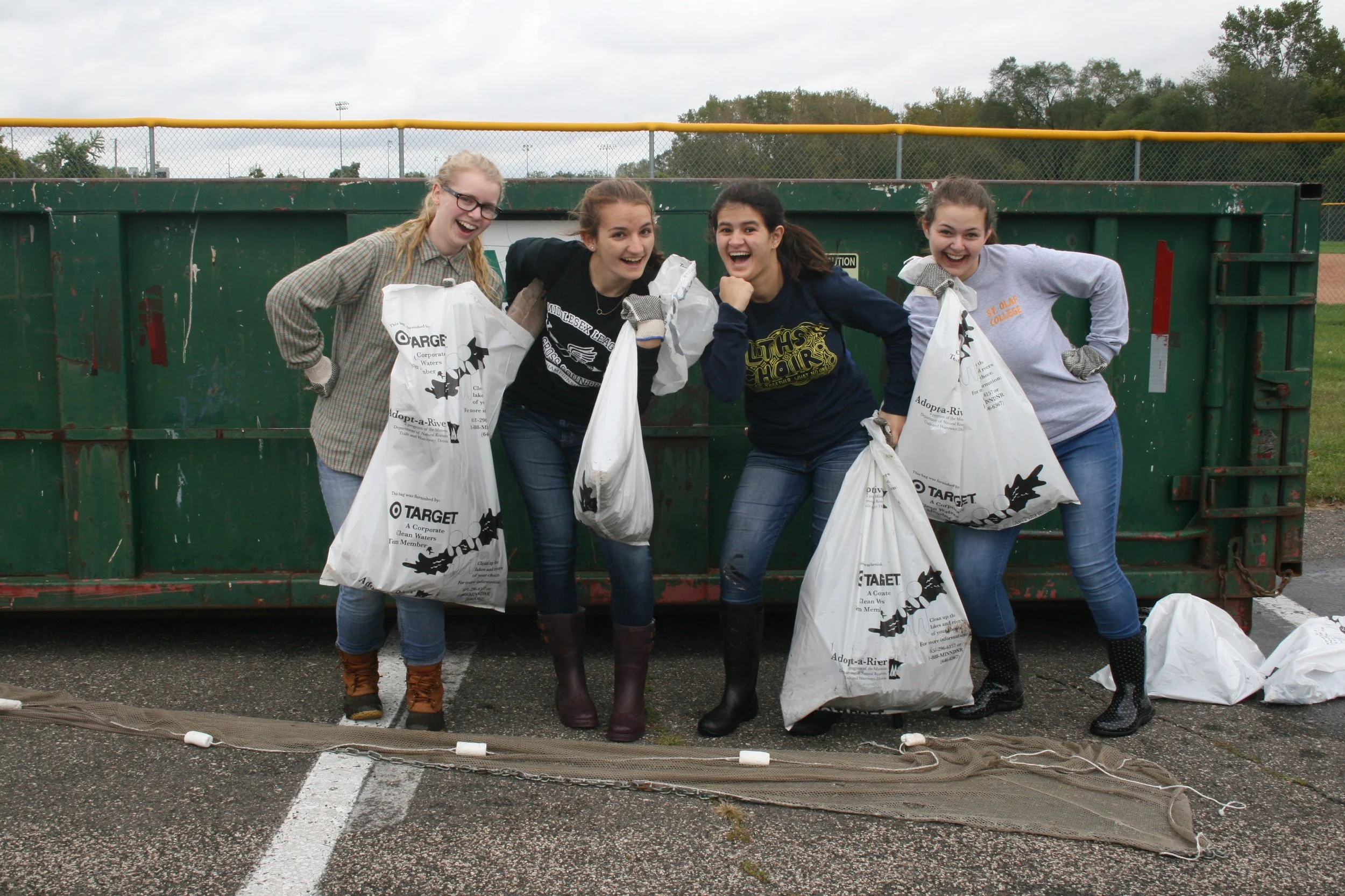
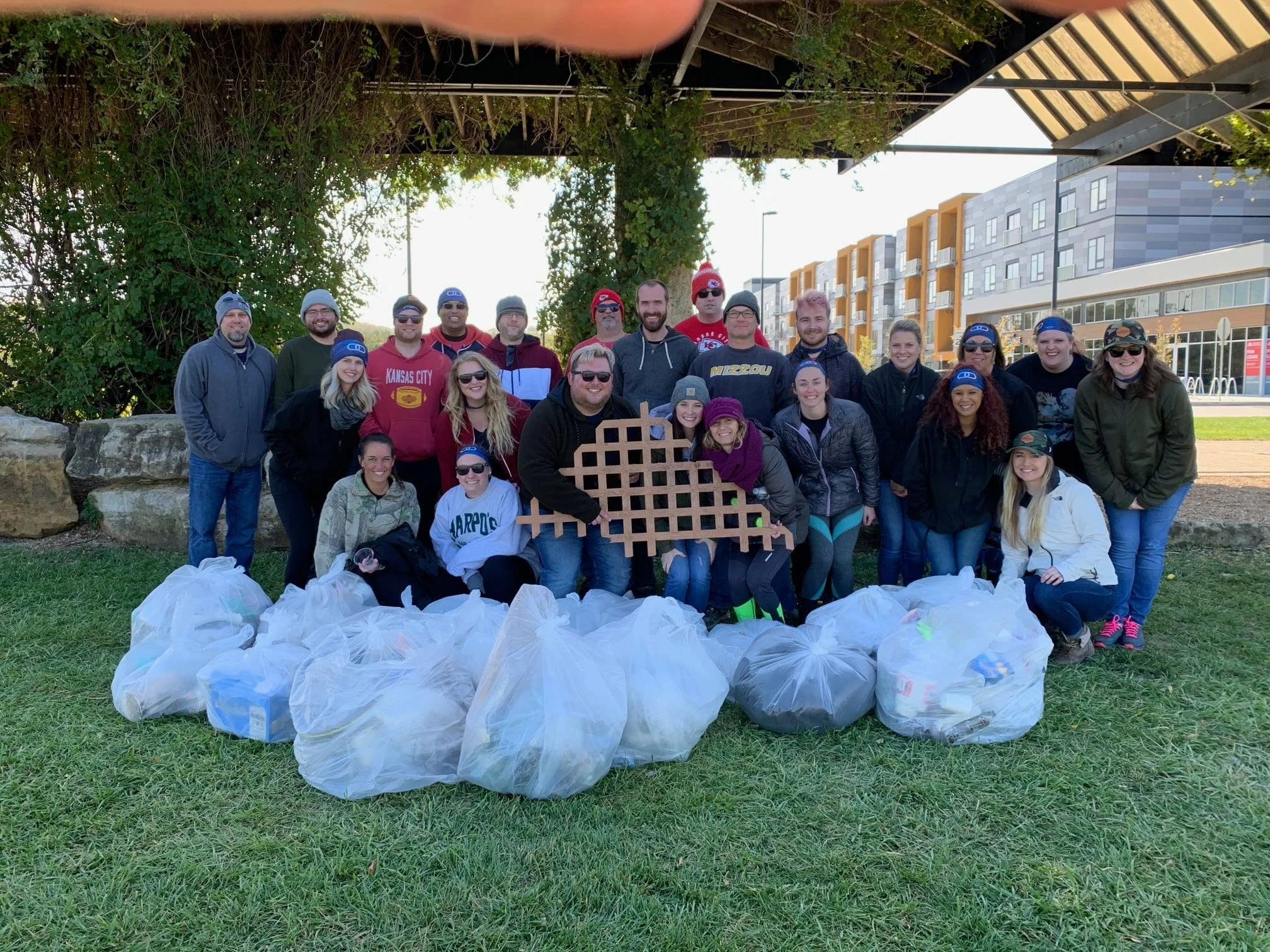
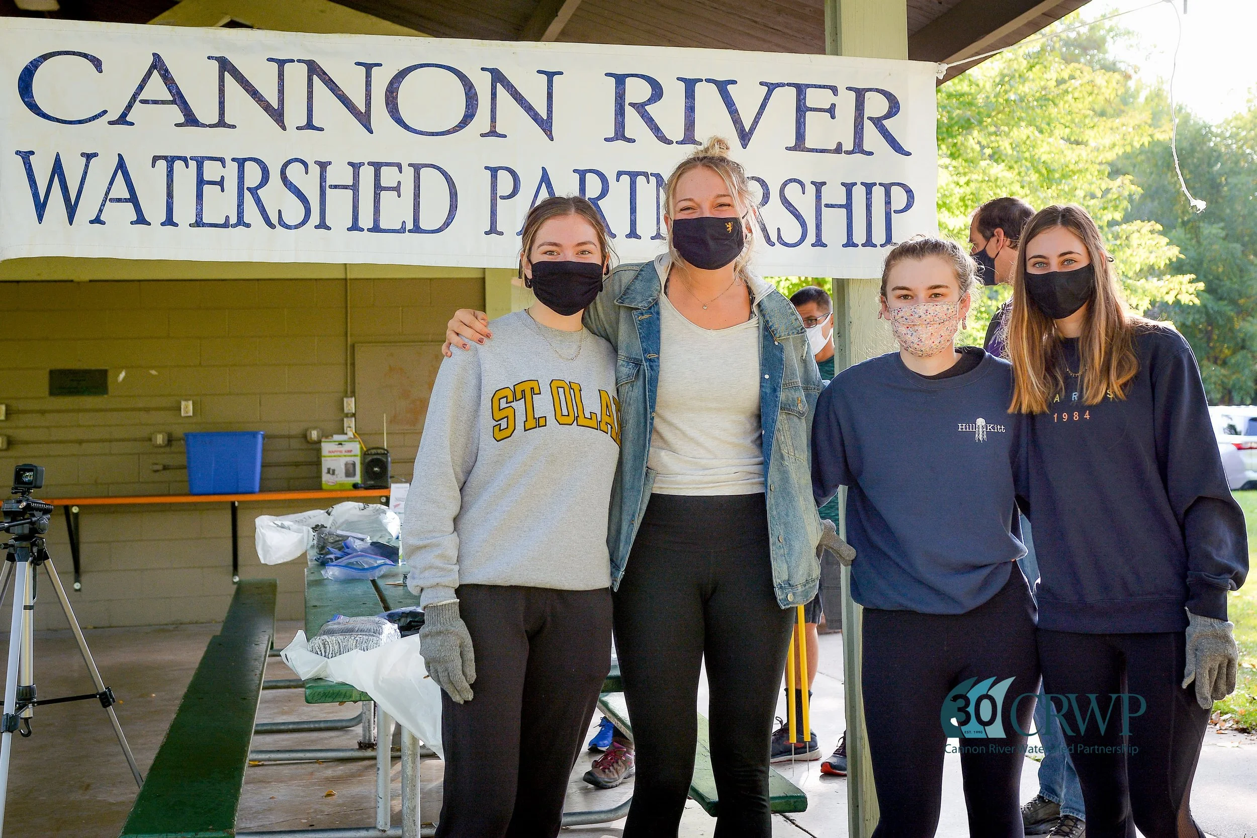
Even in the face of high water, community spirit remained strong. Our annual Watershed-Wide Cleanup continued to grow each year, becoming a tradition that brought people together along the Cannon and Straight Rivers. By 2014, more than 300 volunteers were turning out to clean up sites across the watershed, a powerful reminder that protecting our waters is shared work.
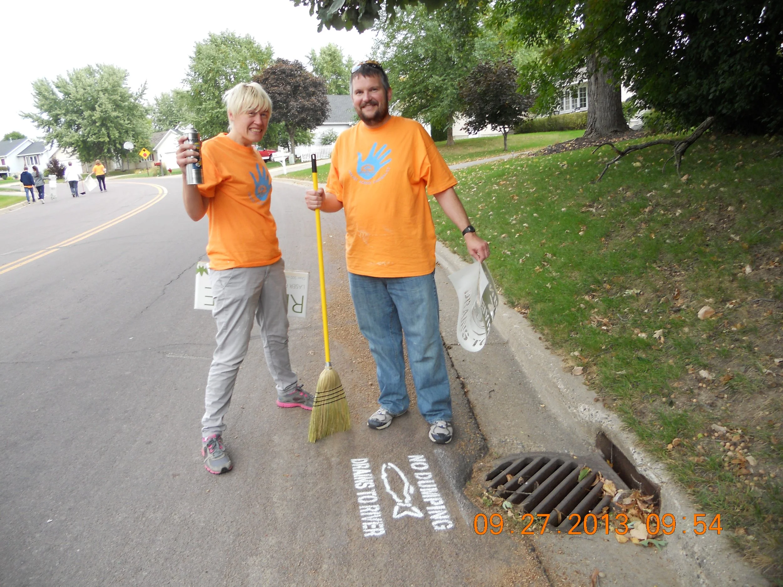
At the same time, our impact deepened in measurable ways. In 2012 alone, twelve communities worked with us to improve failing sewer systems. Volunteers and staff collected hundreds of water samples to strengthen our understanding of local conditions, while rain barrel workshops gave residents practical tools to reduce stormwater runoff at home. Outreach expanded beyond workshops to include door hangers and storm drain stenciling, helping connect everyday actions to water quality.
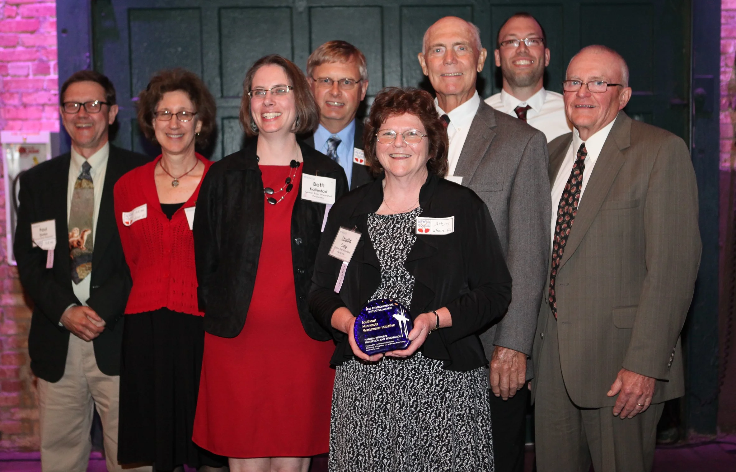
This period also brought meaningful recognition. The Southeast Minnesota Wastewater Initiative received a Natural Resource Protection and Restoration award from the Environmental Initiative in 2013, and in 2014, we were honored with the Bush Prize for Community Innovation. By then, the Initiative had helped 21 communities upgrade their systems, preventing more than 106 million gallons of untreated sewage from entering lakes and rivers each year.
2015-2019
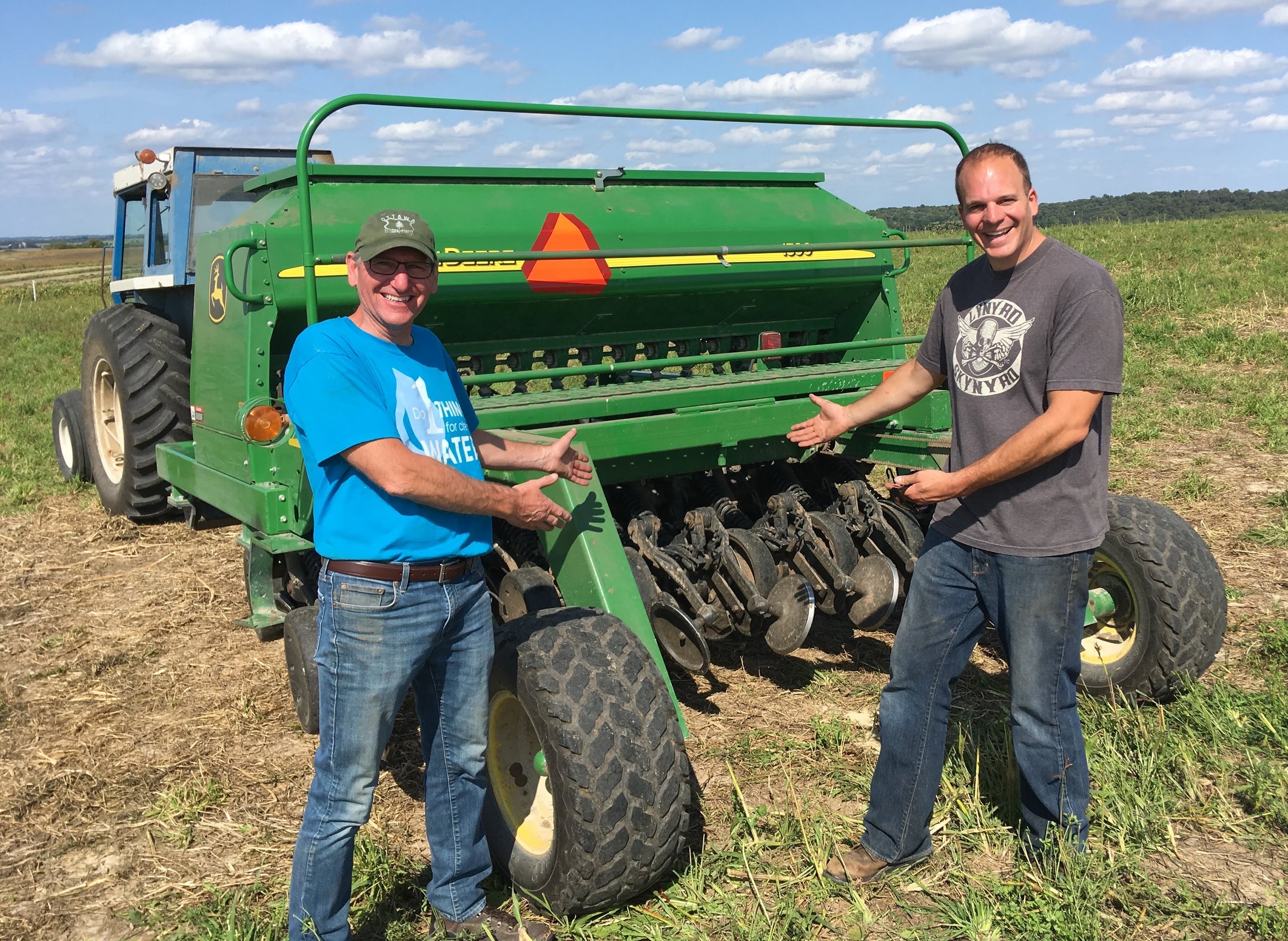
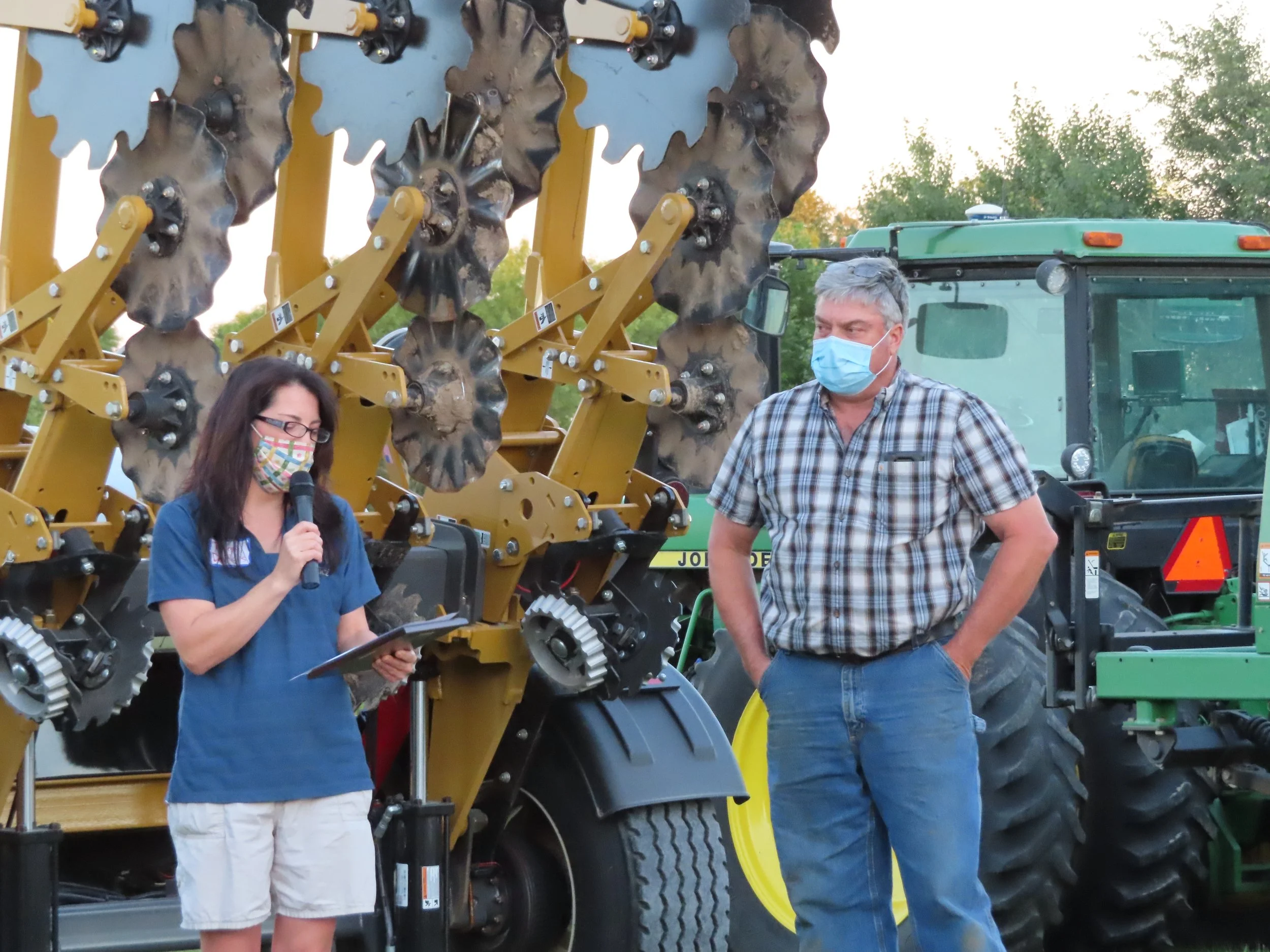
In 2015, we at the Cannon River Watershed Partnership began to see the impact of connecting people, land, and water. That year, we partnered with 15 farmers to plant 710 acres of cover crops, seeing firsthand how plants like rye and clover could hold soil and nutrients in place while fields lay fallow between harvests. In the spring, we brought together over 150 people for a lively forum on Governor Dayton’s Buffer Initiative. The room buzzed with questions and ideas as landowners, farmers, and community members shared their perspectives on increasing streamside buffers. In the fall, volunteers rolled up their sleeves to pick up trash along the Cannon and Straight Rivers, and we worked alongside small towns like Greenleafton and Turtle Creek to bring new septic systems online, keeping hundreds of gallons of untreated sewage out of our waterways. That year, the first WRAPS kickoff meeting set the stage for a watershed-wide vision, reminding us that protecting water is a long-term effort that requires many voices.
By 2016, we began shifting how we engaged with the communities across our six-county watershed. Instead of leading every project ourselves, we focused on supporting the efforts that were already happening locally. That fall, 210 volunteers came together for the 8th Annual Watershed Wide Cleanup, removing over 5,000 pounds of trash, while our storm drain stenciling, rain garden workshops, student poster contests, and river tours helped connect people of all ages to the importance of clean water. On the agricultural side, our work with farmers grew as we helped plant hundreds of acres of cover crops and teamed up with groups like the Tri-County Sportsman’s Club and FarmAmerica to host educational events. We also launched the “6-5-4 Clean Water” Project, helping secure funding for a series of conservation projects to improve water quality in the years ahead. Meanwhile, our Southeast Minnesota Wastewater Initiative continued to tackle long-standing problems, from shared septic systems in Cedar Beach to Myrtle’s first steps toward eliminating its last community straight pipe.
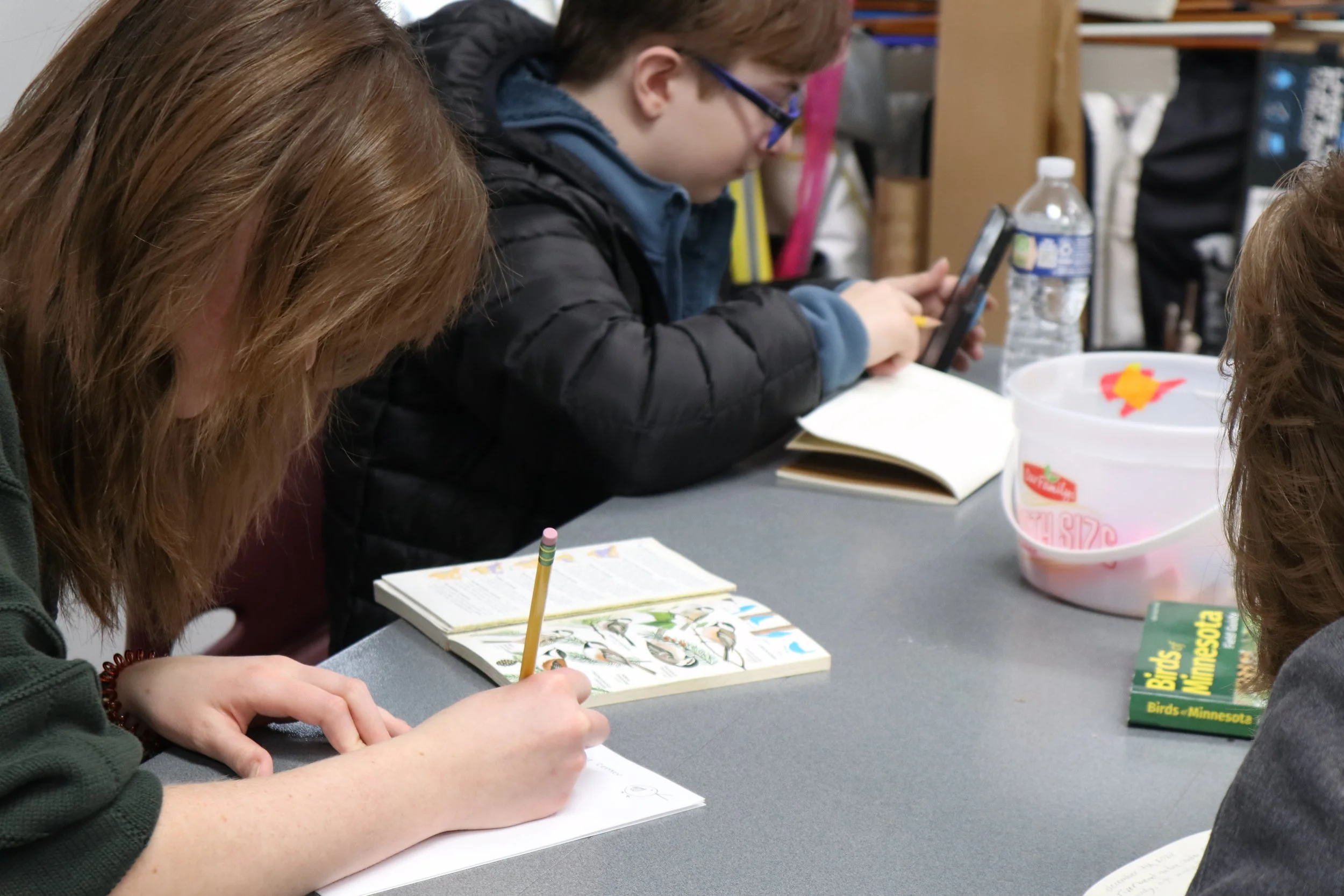
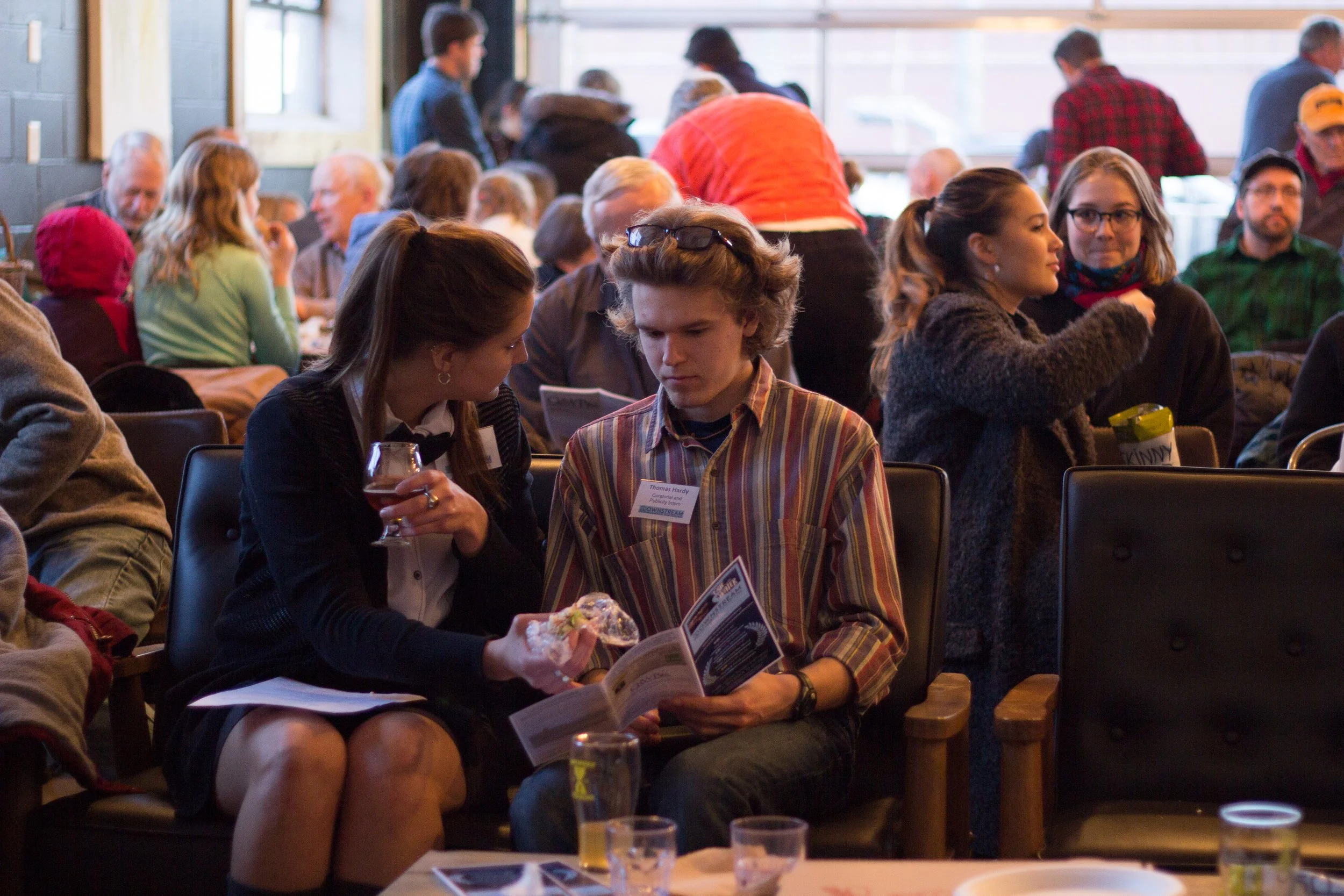
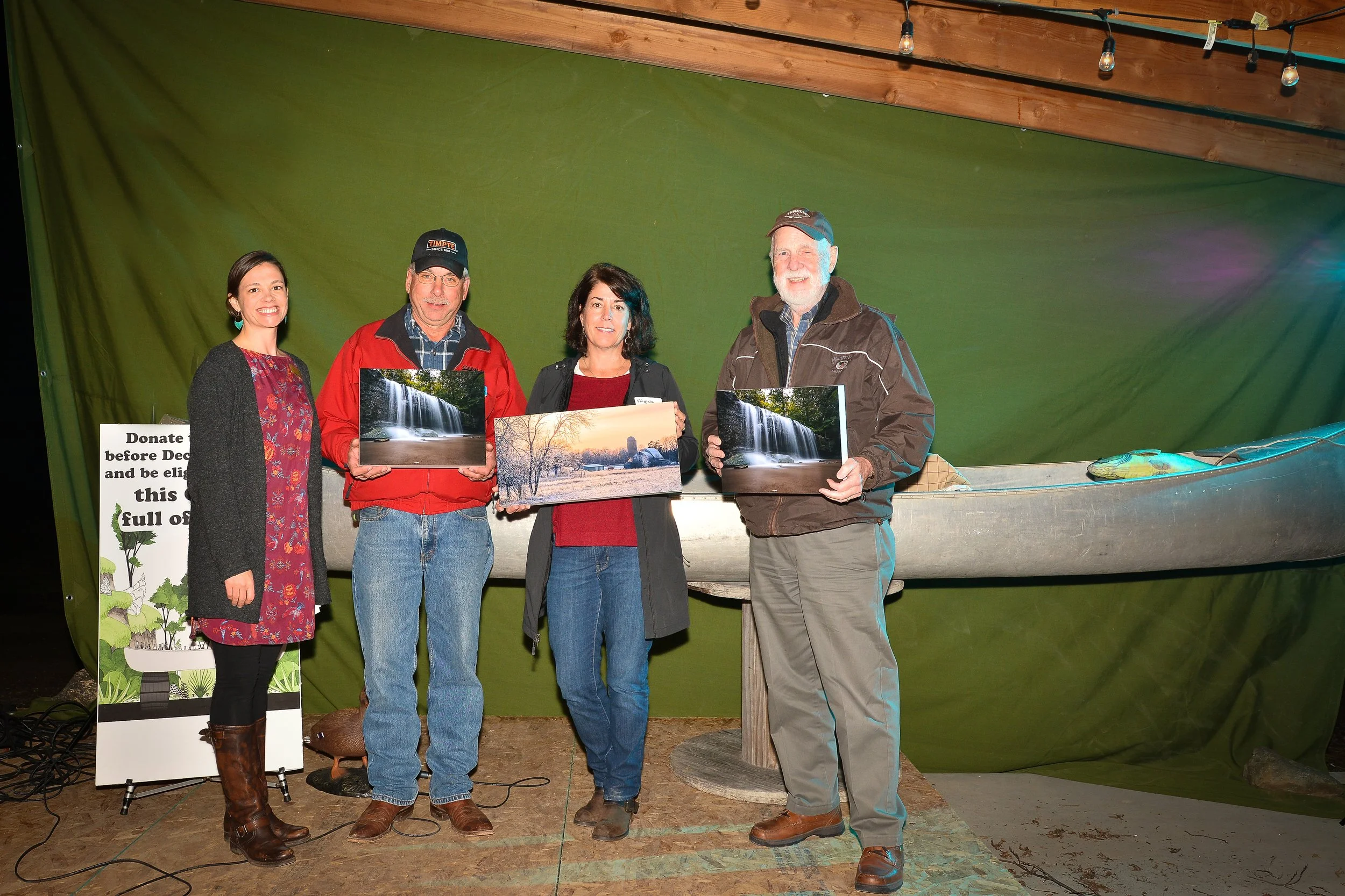
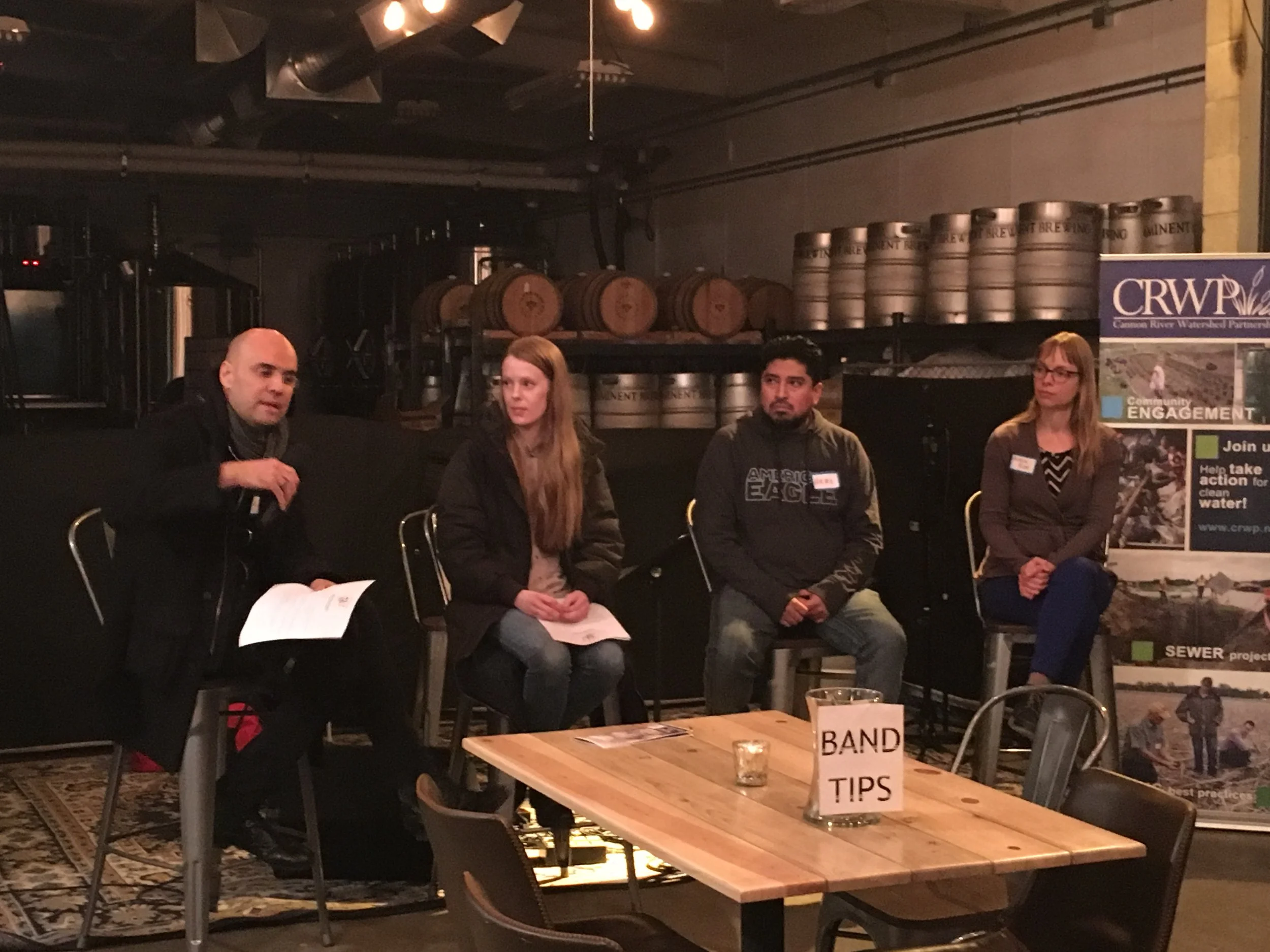
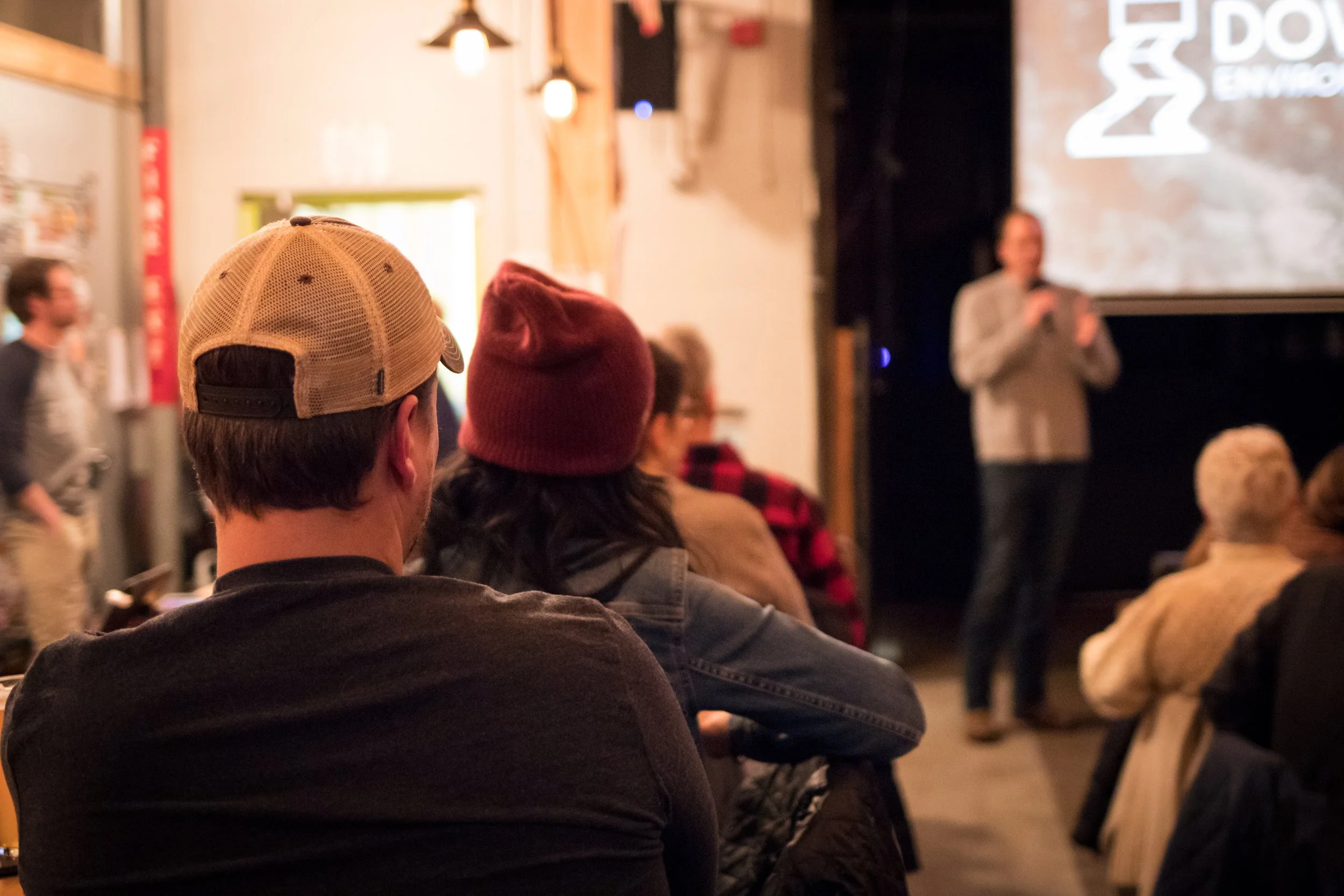
In 2017, our approach matured as we focused on amplifying the efforts of volunteers and local partners. The 9th Annual Watershed Wide Cleanup brought more than 200 people into the field, collecting 8,000 pounds of trash, while Arbor Day events, student poster contests, and the launch of our Master Water Stewards program strengthened connections between residents and the water flowing through their towns. Farmers embraced our cover crop initiatives with 16 participants planting over a thousand acres, keeping soil and nutrients out of streams, and we began working with the University of Minnesota on satellite monitoring to better understand the impact of these practices. That year, we also hosted our first Downstream Environmental Film Festival and began planning for the We Are Water MN exhibit in Northfield, sowing the seeds for years of environmental education to come. Through all of it, we continued sharing knowledge and guidance from our wastewater projects, producing videos to help future communities navigate the path to cleaner, safer sewage systems.
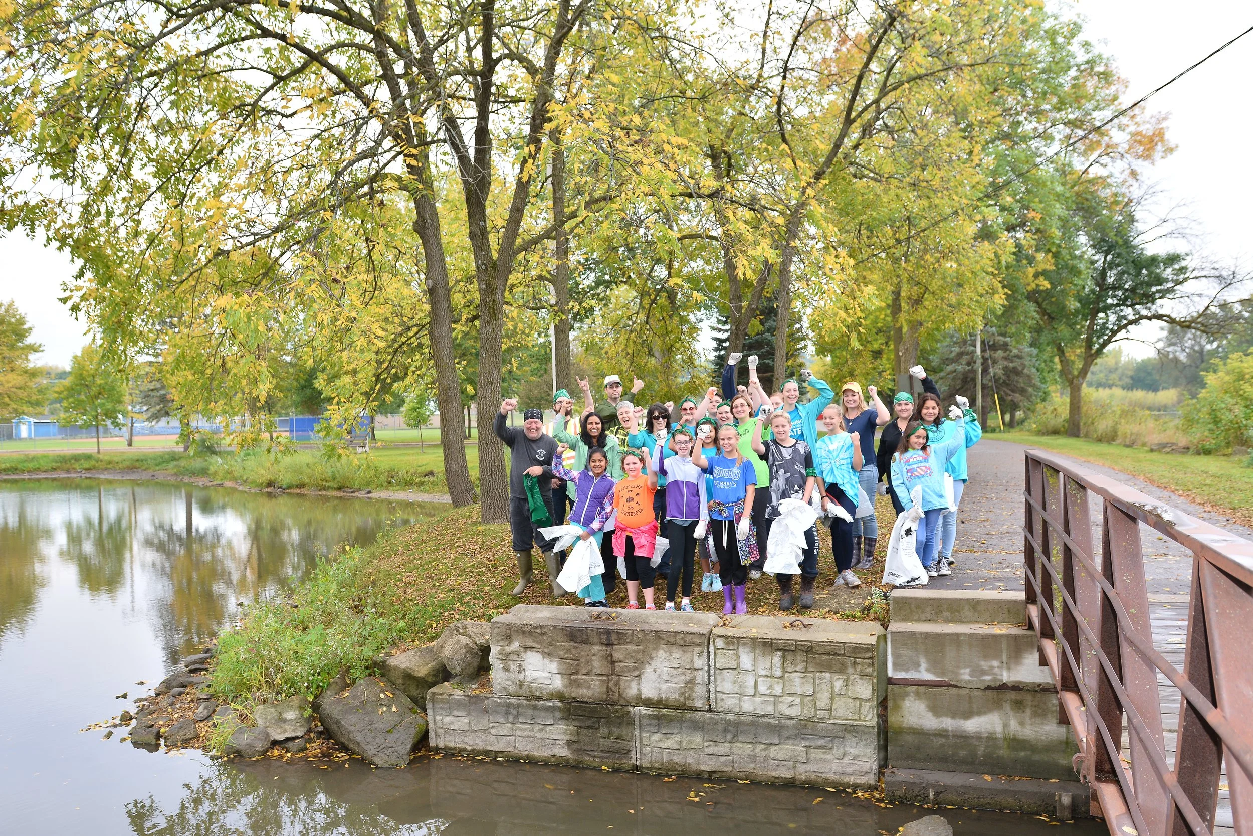
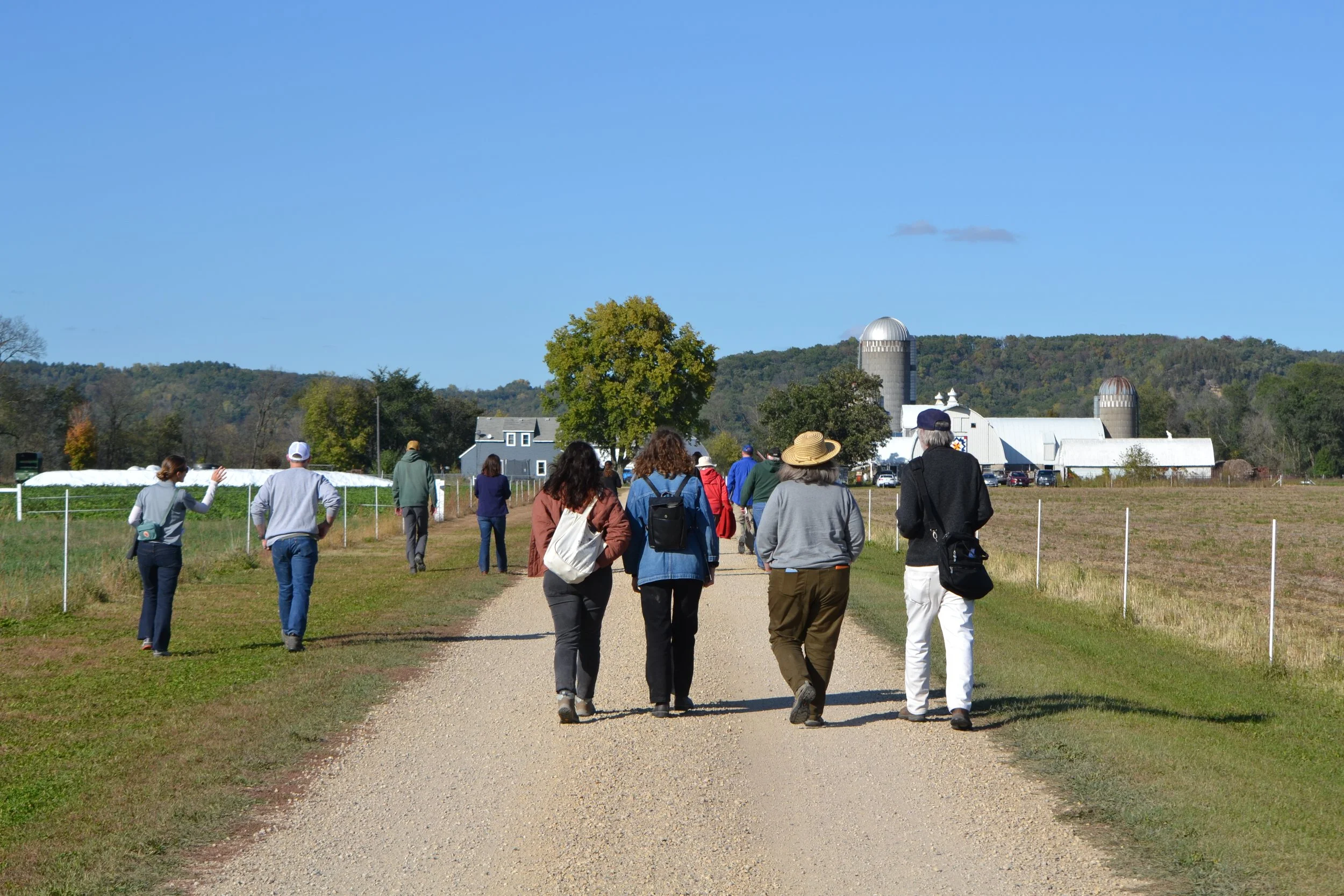
By 2018, our role as a catalyst and connector became clearer. Rather than doing it all ourselves, we found ways to partner with others and reach even more people. The 10th Annual Watershed Wide Cleanup brought over 200 volunteers together to collect 8,400 pounds of litter, while the Downstream Environmental Film Festival drew hundreds to learn about water issues in the region. On the farmland, the Farmers Protecting Rice Creek project grew, with nine farmers planting 855 acres of cover crops, preventing thousands of pounds of nitrate and soil from reaching streams. Field days, monitoring, and partnerships with conservation organizations like Trust for Public Land and the Minnesota Land Trust helped spread best practices while we explored new markets for Kernza perennial grain. And in wastewater, the West Jefferson Lake, Twin Lake Zumbro, and Cedar Lake projects took shape, showing how thoughtful planning and community collaboration can keep water clean for generations.
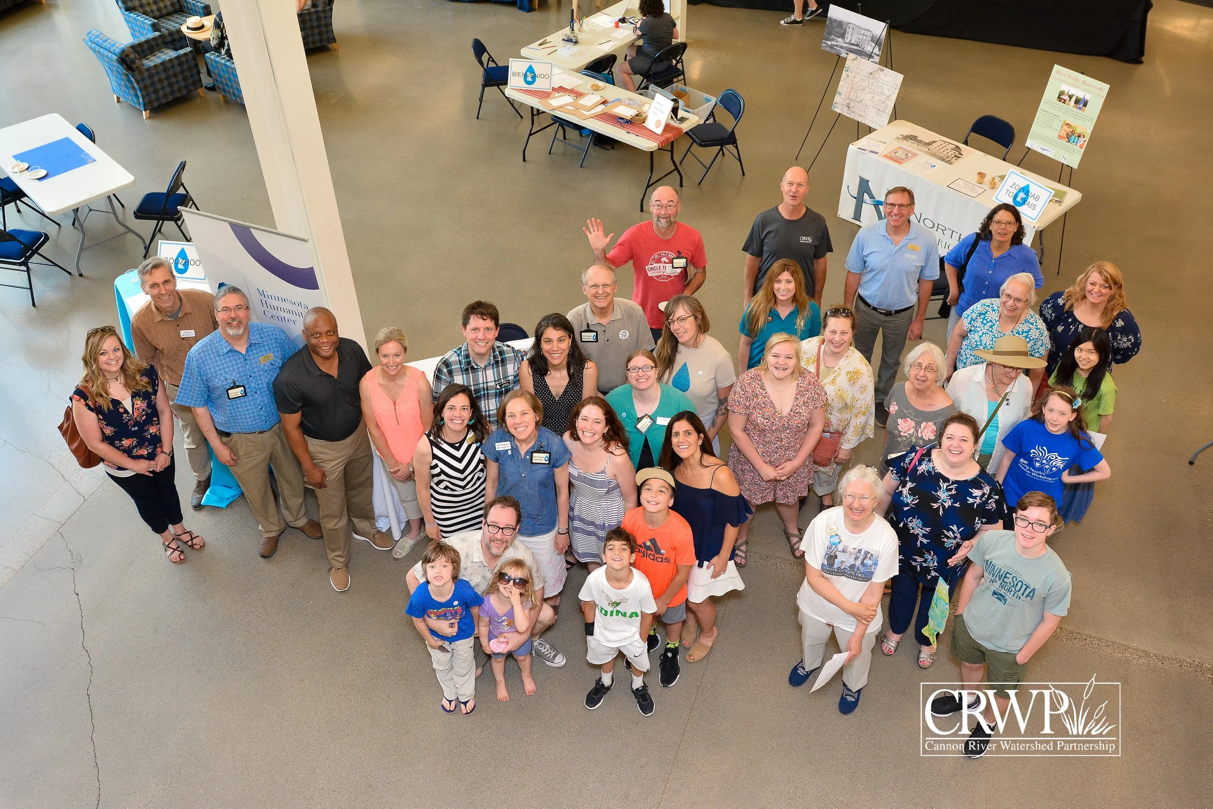
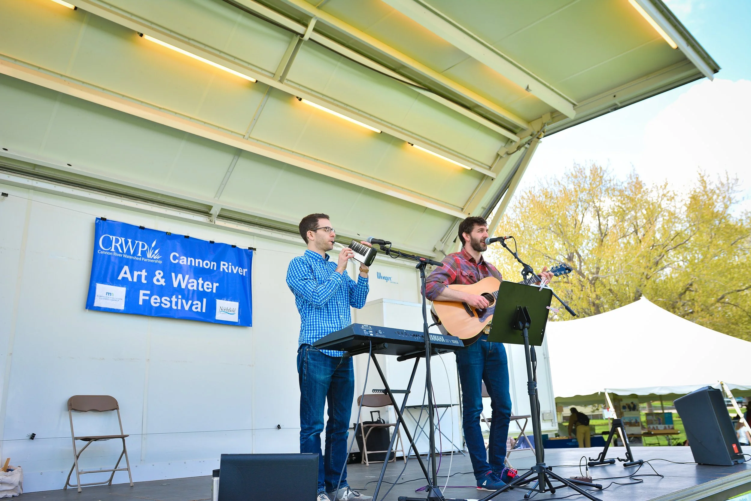
In 2019, we felt the full circle of our work, seeing how community engagement, conservation, and wastewater management weave together to protect our watershed. Volunteers gathered for the 11th Annual Watershed-Wide CleanUP, removing 8,500 pounds of litter, while the We Are Water exhibit and Cannon River Art & Water Festival brought hundreds of visitors face-to-face with the beauty and importance of our rivers and lakes. On the land, the first year of the expanded Farmers Protecting Rice Creek project had 11 farmers planting 940 acres of cover crops, reducing runoff and sharing what they learned with neighbors and peers. Across the region, our wastewater projects moved forward, from West Jefferson Lake to Cedar Lake and new work in Mower County, helping dozens of households protect water quality. Looking back, 2019 reminded us that the strength of our watershed comes not from one person or one project, but from the communities, farmers, volunteers, and partners who come together with a shared purpose: to keep our rivers, lakes, and soils healthy for generations to come.
2020-2024
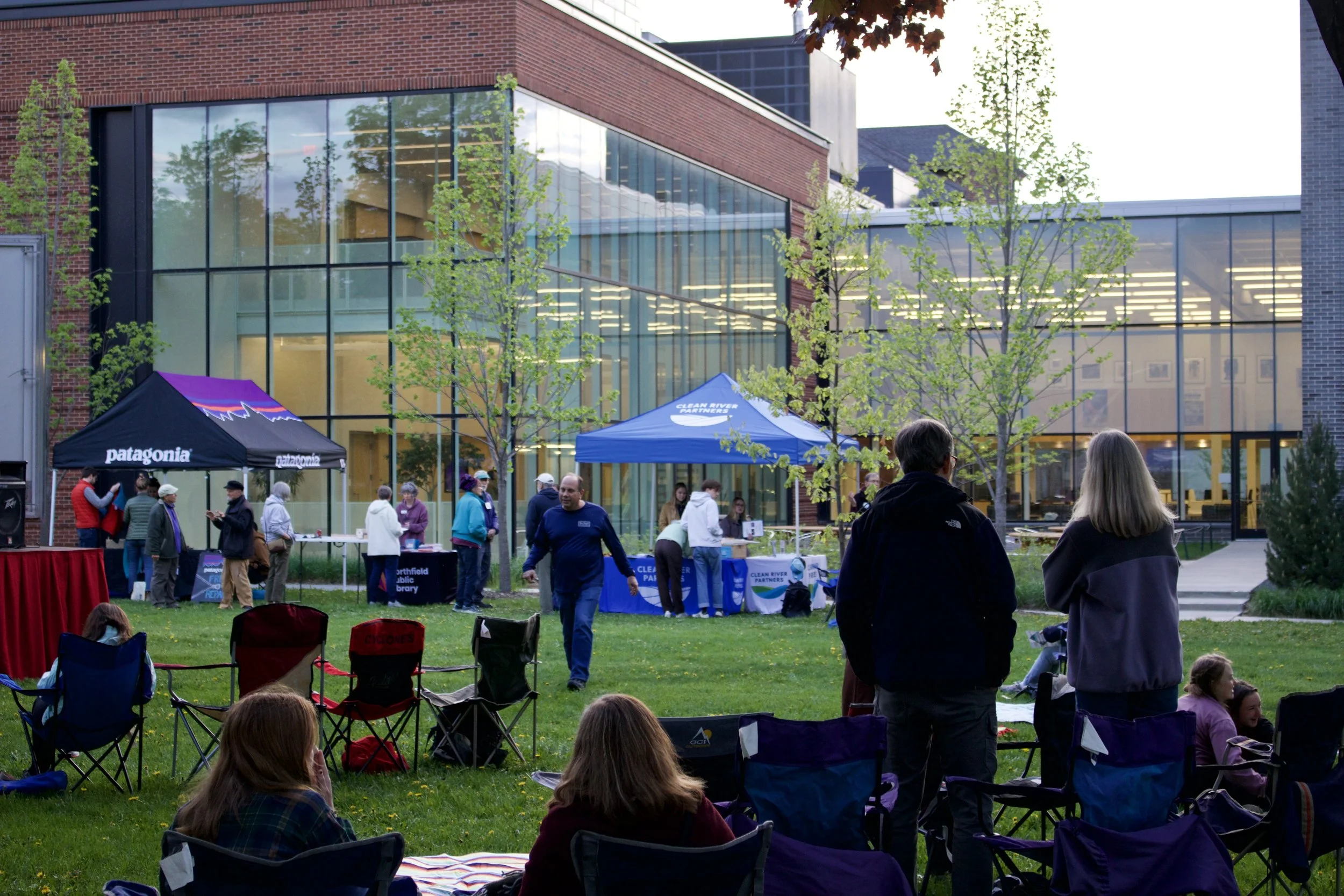
From 2020 through 2024, our organization’s story is one of resilience, partnership, and a steadily deepening connection between people, land, and water. In 2020, a year defined by uncertainty, we found purpose in bringing people together around shared challenges. Through the Cannon River Agricultural Collaborative, we connected farmers, researchers, and partner organizations to advance water quality practices across multiple sub-watersheds. At the same time, we helped open new possibilities for perennial crops like Kernza, supporting farmers as they explored more sustainable and profitable systems. Even amid disruption, our community showed up. Volunteers gathered for the Watershed-Wide Cleanup, removing thousands of pounds of litter, and the Downstream Environmental Film Festival brought people together to reflect, learn, and stay inspired.
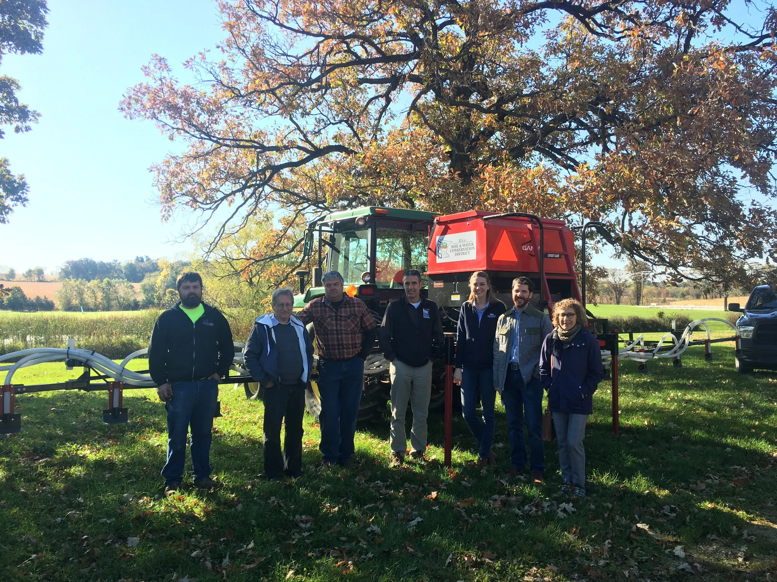
The following year marked a turning point as we became Clean River Partners, a name that better captured both our mission and the collaborative spirit behind it. Click here to learn more about our name change. With that renewed identity, we expanded our partnerships and strengthened our impact. Farmers across the watershed adopted cover crops and perennial grains on an increasing scale, contributing to dramatic improvements in water quality, including a remarkable reduction in nitrate levels in Rice Creek. Our watershed also gained national recognition, affirming that the work happening here could serve as a model for others. Through it all, familiar traditions like the annual cleanup and film festival continued to anchor our work, offering moments for community reflection and shared action.
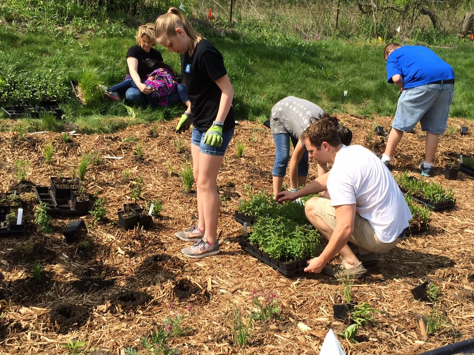
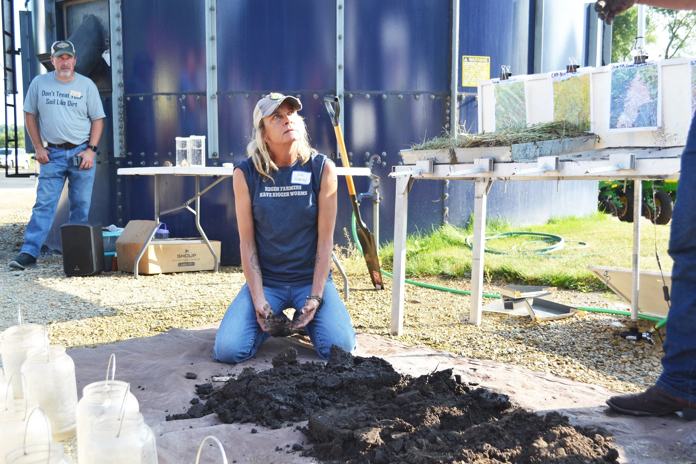
By 2022 and 2023, the results of years of relationship-building began to take root in visible and lasting ways. Volunteers continued to turn out in large numbers, not just to clean rivers but to affirm a shared sense of responsibility and hope. We expanded protected habitats, adding new lands for wildlife and pollinators while preserving the ecological health of the region. Field days, educational events, and classroom programs connected hundreds of people to conservation practices, from soil health to stormwater management. Farmers planted an impressive number of cover crops, and improvements in water quality continued. These years felt like a widening circle, with more people finding their place in the work and contributing to a healthier watershed.
In 2024, that circle grew even broader as we focused on inclusion, education, and long-term planning. We worked alongside state and local partners to shape a ten-year vision for drinking water, grounded in community input. New programs invited people of all backgrounds to see themselves as stewards of the river, from youth exploring nature for the first time to volunteers restoring habitat and caring for storm drains. Events like Nuestra Agua, Nuestras Vidas, and new initiatives such as Volunteer Corps and QUEERY reflected a commitment to belonging as much as conservation. At the same time, our core efforts continued, with farmers planting cover crops, acres of habitat being protected, and hundreds of community members gathering for cleanups, workshops, and celebrations. Together, these moments tell the story of an organization that has grown not just in impact, but in connection, purpose, and possibility.